


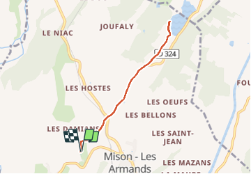

11 km | 17.2 km-effort

User


FREE GPS app for hiking
 SityTrail
IGN / Geographical institutes
SityTrail World
The world is yours!
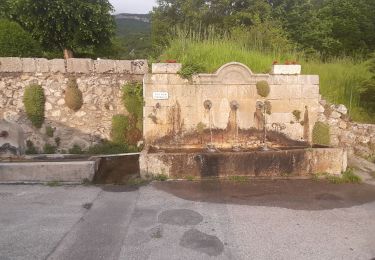
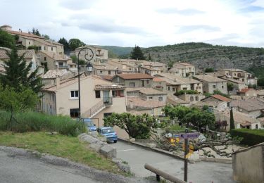
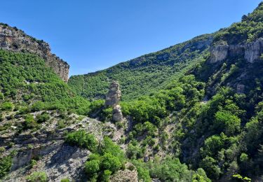
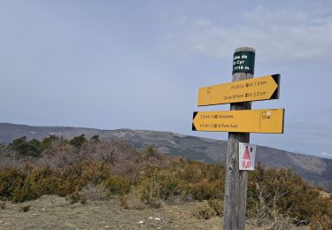
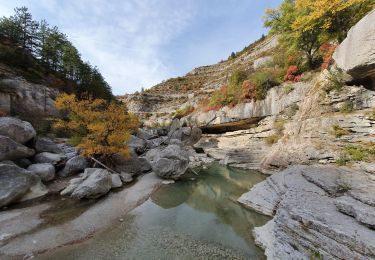
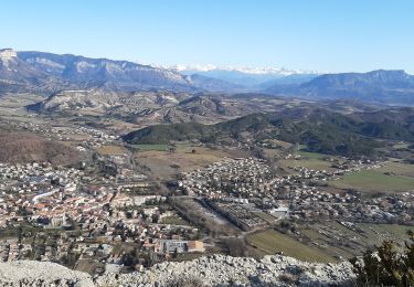
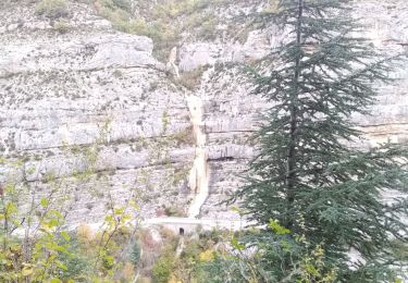
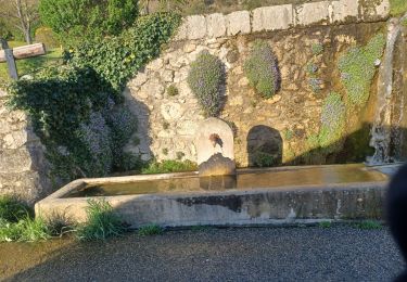
Trail of 6.9 km to be discovered at Provence-Alpes-Côte d'Azur, Alpes-de-Haute-Provence, Mison. This trail is proposed by babouille.
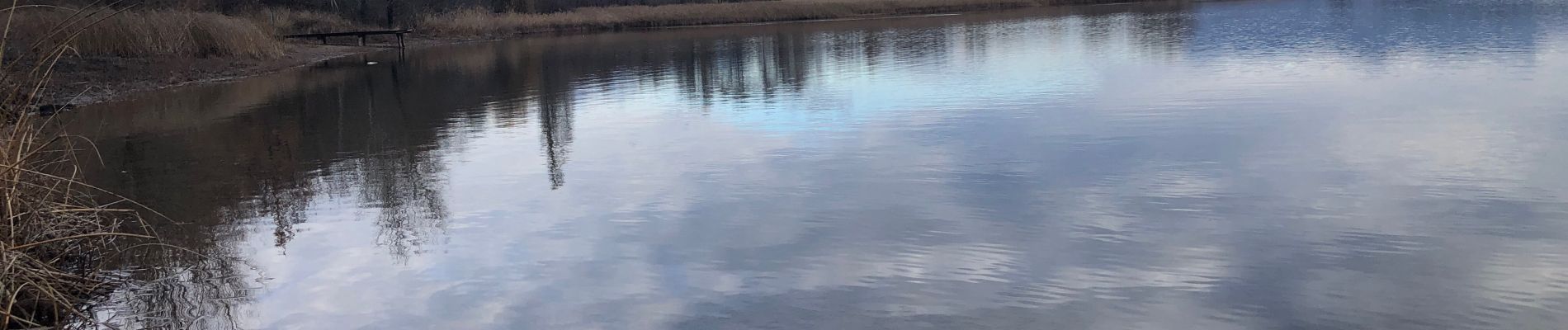
Du soleil au départ et couvert à l’arrivée


Walking
Walking
Walking
Walking
Walking

Walking
Walking
Walking
Walking