


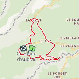

19 km | 28 km-effort


User


FREE GPS app for hiking
 SityTrail
IGN / Geographical institutes
SityTrail World
The world is yours!
Trail Walking of 7.9 km to be discovered at Occitania, Aveyron, Condom-d'Aubrac. This trail is proposed by Lacaze.
Départ du parking à l'entrée du village
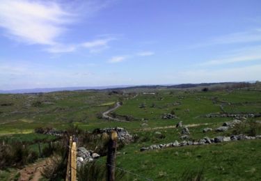
Walking
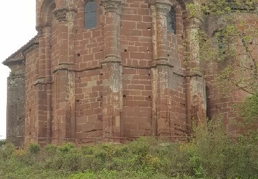
Walking
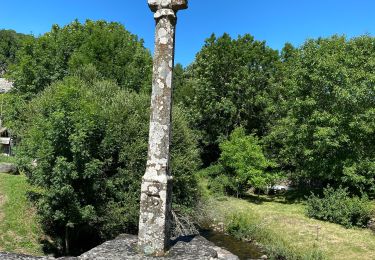
Walking

On foot
Walking
Walking
Walking
Walking
Walking