

le petit tour du frau, jusqu'au point de vue ❤️

"La Servie"
User

Length
5.8 km

Max alt
331 m

Uphill gradient
77 m

Km-Effort
6.8 km

Min alt
275 m

Downhill gradient
74 m
Boucle
Yes
Creation date :
2025-01-22 10:17:34.605
Updated on :
2025-01-23 09:19:58.12
1h34
Difficulty : Very easy

FREE GPS app for hiking
About
Trail Walking of 5.8 km to be discovered at Occitania, Lot, Belfort-du-Quercy. This trail is proposed by "La Servie".
Description
Au départ de ''la ferme de La Servie'' par le PR1, possibilité de démarrer depuis le croisement avec la route de Lalbenque au bord de la D99.
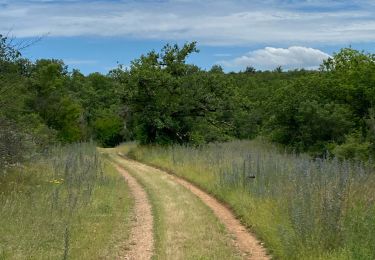
Attention selon le temps le début du chemin peut être détrempé :) comme sur la photo !
Positioning
Country:
France
Region :
Occitania
Department/Province :
Lot
Municipality :
Belfort-du-Quercy
Location:
Unknown
Start:(Dec)
Start:(UTM)
386494 ; 4906429 (31T) N.
Comments
Trails nearby
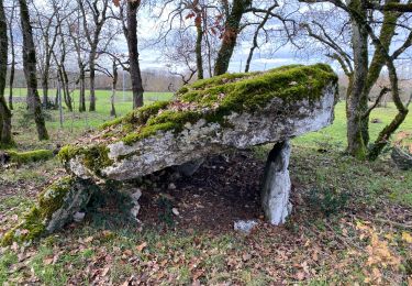
Lalbenque pr courbesse


Walking
Difficult
Lalbenque,
Occitania,
Lot,
France

10.3 km | 12.4 km-effort
2h 49min
Yes
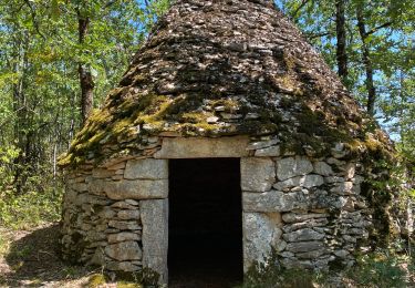
Lalbenque cieurac pauliac


sport
Very easy
Lalbenque,
Occitania,
Lot,
France

14.5 km | 17.3 km-effort
Unknown
Yes
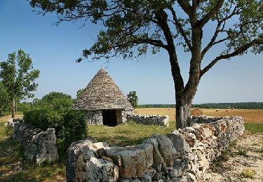
AU PAYS DU DIAMANT NOIR - DECOUVERTE DU PAYS DES TRUFFES


Mountain bike
Very difficult
Lalbenque,
Occitania,
Lot,
France

55 km | 65 km-effort
4h 30min
Yes
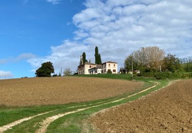
Sob Lalbenque Bourdaou


sport
Very easy
Lalbenque,
Occitania,
Lot,
France

22 km | 26 km-effort
Unknown
No
Mazerac source lere belli y


sport
Very easy
Puylaroque,
Occitania,
Tarn-et-Garonne,
France

11.5 km | 13.9 km-effort
Unknown
No
Boucle montdoumerc


sport
Very easy
Montdoumerc,
Occitania,
Lot,
France

51 km | 60 km-effort
Unknown
Yes


On Road circular bike ride 43 km


Road bike
Medium
Lalbenque,
Occitania,
Lot,
France

43 km | 50 km-effort
1h 17min
Yes

Cardaillac Marcenac Recoussié


On foot
Very easy
Vaylats,
Occitania,
Lot,
France

9 km | 9.8 km-effort
Unknown
Yes


 SityTrail


