


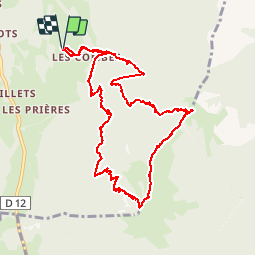

9.6 km | 18.3 km-effort


User


FREE GPS app for hiking
 SityTrail
IGN / Geographical institutes
SityTrail World
The world is yours!
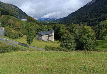
Trail Other activity of 12.3 km to be discovered at Auvergne-Rhône-Alpes, Upper Savoy, Faverges-Seythenex. This trail is proposed by glasser.
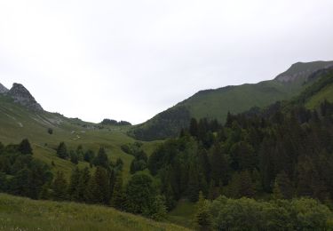
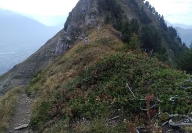
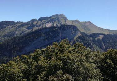
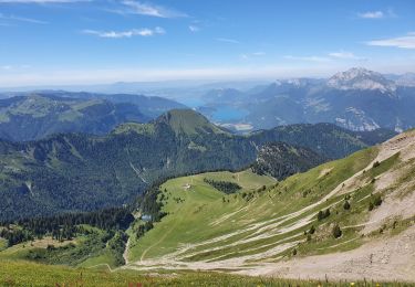
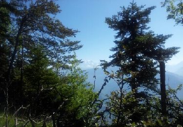
Montée bien ombragée du départ jusqu'au chalet -abri de l Apette . Poursuivre sur l arête avec un secteur câble du Pas de l Âne . La descente assez raide s effectue par le chalet de Perillet .
Walking
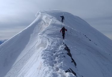
Touring skiing
Walking
Walking
Walking
Walking
Walking
Walking
Other activity