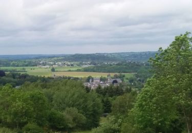
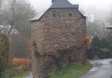
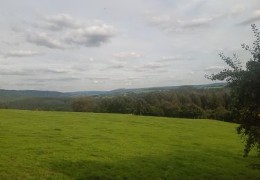
Trail Walking Stoumont - StoumontP12PromenadedeChession - Photo

StoumontP12PromenadedeChession

 kodak
kodak

User

© OpenStreetMap contributors
Length
Length
12.8 km
Max alt
Max alt
400 m
Uphill gradient
Uphill gradient
388 m
Km-Effort
Km-Effort  
18 km
Min alt
Min alt
203 m
Downhill gradient
Downhill gradient
389 m
Boucle
Boucle
Yes
Creation date :
2025-01-11 06:54:34.923
Updated on :
2025-01-11 06:55:37.782

(1 Reviews)

Walking
Walking
4h05
Difficulty : Difficult

Scan this QR Code to open this trail in the SityTrail application

FREE GPS app for hiking

Logo SityTrail SityTrail

IGN / Geographical institutes

Download SityTrail from the App Store Download SityTrail from Google Play

Logo SityTrail SityTrail World

The world is yours!

Download SityTrail from the App Store Download SityTrail from Google Play Download SityTrail on Huawei AppGallery

About

Trail Walking of 12.8 km to be discovered at Wallonia, Liège, Stoumont. This trail is proposed by kodak.

Description

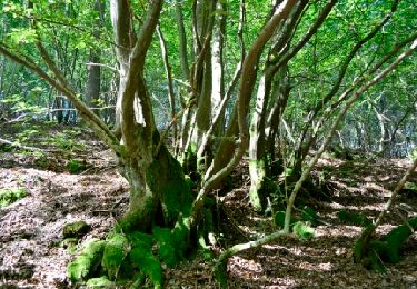
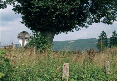
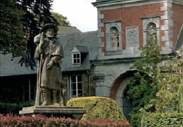
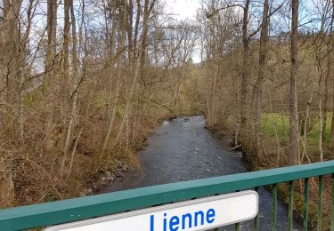
Promenade très variée et avant tout paysagère. Au départ de l’espace d’accueil montée sur « le Thier » (alt 380) puis entrée dans le bois . Descente vers l’Amblève par un sentier situé sur la rive droite du ruisseau de Fagne-Naze. Ensuite le sentier serpente en corniche au dessus de l’Amblève jusqu’à la « Heid d’Aze » Descendre ensuite vers l’ancien moulin de Lorcé. Altitude 247. Monter en direction de Chession par le chemin forestier à flanc de colline jusqu’à une ancienne école. Descendre ensuite vers la Lienne jusqu’à un éperon rocheux qui surplombe la rivière. Poursuivre le chemin en corniche et retourner vers le village de Chession ; le traverser. Sur le dessus du village prendre à droite un chemin forestier qui descend vers la vallée de Bru. (Ruisseau du Pouhon) . Remonter vers Lorcé par l’itinéraire du Moulin.

Elevation profile

Positioning

Country:
Belgium
Region :
Wallonia
Department/Province :
Liège
Municipality :
Stoumont
Location:
Unknown
Start:(UTM)
693922 ; 5588183 (31U) N.

Comments

Please log in to post a review or rate the element


Trails nearby

Trail Walking Stoumont - Lorcé, Natura 2000 - Des sites qui valent le détour, Lg13 - Photo
Walking
GUIDE+

Walking

Easy
(7)
Stoumont, Wallonia, Liège, Belgium
6.1 km | 8.9 km-effort
1h 57min
Yes
Trail Walking Stoumont - RB-Lg-14 - Raccourci  - Photo
Walking
PRO

Walking

Very difficult
(5)
Stoumont, Wallonia, Liège, Belgium
17 km | 24 km-effort
5h 28min
Yes
Trail Walking Aywaille - RB-Lg-15 - À la porte de l’Ardenne - Photo
Walking
PRO

Walking

Difficult
(7)
Aywaille, Wallonia, Liège, Belgium
22 km | 30 km-effort
6h 10min
Yes
Trail Walking Stoumont - 2022-02-03_17h52m52_StoumontP14PromenadedessommetsdelaLienne - Photo
Walking
GUIDE
mumu.larandonneuse

Walking

Medium
(2)
Stoumont, Wallonia, Liège, Belgium
16.1 km | 23 km-effort
5h 11min
Yes
Trail Walking Stoumont - lorcé  . suf la lienne  . Chevron . lorcé  - Photo
Walking
GUIDE
stef789

Walking

Very easy
(1)
Stoumont, Wallonia, Liège, Belgium
15.9 km | 22 km-effort
5h 41min
Yes
Trail Walking Aywaille - houssonloge . bois du pouhon . trou de bosson . paradis . houssonloge  - Photo
Walking
GUIDE
stef789

Walking

Very easy
(4)
Aywaille, Wallonia, Liège, Belgium
9.1 km | 12.4 km-effort
2h 49min
Yes
Trail Walking Stoumont - RB-Lg-14 - De point de vue en point de vue autour de Lorcé - Photo
Walking
PRO

Walking

Very difficult
(4)
Stoumont, Wallonia, Liège, Belgium
22 km | 30 km-effort
6h 53min
Yes
Trail Walking Stoumont - 10km sous la pluie autour de Lorcé - Photo
Walking
GUIDE
stef789

Walking

Easy
(1)
Stoumont, Wallonia, Liège, Belgium
10.6 km | 14.1 km-effort
2h 47min
Yes
Trail Walking Stoumont - ST12 Lorcé  . Chession . Lorcé  - Photo
Walking
GUIDE
stef789

Walking

Easy
(1)
Stoumont, Wallonia, Liège, Belgium
12.7 km | 17.7 km-effort
4h 28min
No


Close
My subscriptions