25 km | 33 km-effort
montgay
afab05
User
Length
2.7 km
Max alt
1048 m
Uphill gradient
122 m
Km-Effort
4.6 km
Min alt
891 m
Downhill gradient
180 m
Boucle
No
Creation date :
2025-01-09 08:13:50.846
Updated on :
2025-01-10 07:28:30.836
1h43
Difficulty : Easy
FREE GPS app for hiking
About
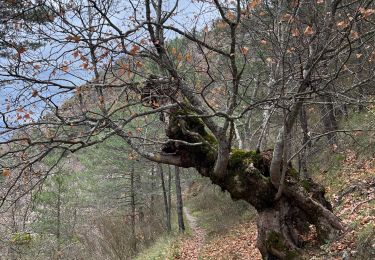
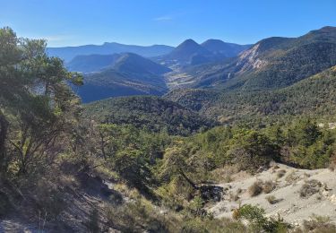
Trail Walking of 2.7 km to be discovered at Provence-Alpes-Côte d'Azur, Hautes-Alpes, Montjay. This trail is proposed by afab05.
Positioning
Country:
France
Region :
Provence-Alpes-Côte d'Azur
Department/Province :
Hautes-Alpes
Municipality :
Montjay
Location:
Unknown
Start:(Dec)
Start:(UTM)
708761 ; 4913379 (31T) N.
Comments
Trails nearby
HA J1 long
Mountain bike
Very easy
(3)
Montjay,
Provence-Alpes-Côte d'Azur,
Hautes-Alpes,
France
2h 7min
No
Balade chapelle st-honora
Walking
Easy
Sorbiers,
Provence-Alpes-Côte d'Azur,
Hautes-Alpes,
France
3.4 km | 5.6 km-effort
1h 13min
Yes
220822 La Louze
Walking
Very difficult
Orpierre,
Provence-Alpes-Côte d'Azur,
Hautes-Alpes,
France
12.5 km | 19.4 km-effort
2h 42min
Yes
Grande Traversée des PréAlpes à VTT : Montjay - Orpierre
Mountain bike
Very difficult
Montjay,
Provence-Alpes-Côte d'Azur,
Hautes-Alpes,
France
11.7 km | 17.7 km-effort
1h 30min
No
Sommets de Charouille et de la Faye
Walking
Medium
Chanousse,
Provence-Alpes-Côte d'Azur,
Hautes-Alpes,
France
14 km | 24 km-effort
3h 40min
Yes
101124 Tour de la Méouge
Bicycle tourism
Medium
Orpierre,
Provence-Alpes-Côte d'Azur,
Hautes-Alpes,
France
70 km | 86 km-effort
6h 12min
Yes
moydan
Walking
Very easy
Montjay,
Provence-Alpes-Côte d'Azur,
Hautes-Alpes,
France
11.9 km | 23 km-effort
1h 59min
No
Boucle de la Fayee depart Chanousse 535+
On foot
Easy
Chanousse,
Provence-Alpes-Côte d'Azur,
Hautes-Alpes,
France
9.8 km | 17 km-effort
Unknown
Yes
Serre d Aumage depart Vaucluse Haute
On foot
Medium
Montjay,
Provence-Alpes-Côte d'Azur,
Hautes-Alpes,
France
11.4 km | 17.5 km-effort
Unknown
Yes