


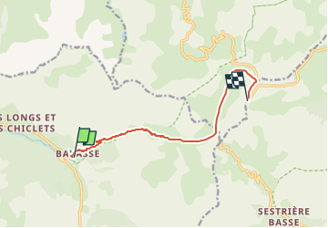

16.3 km | 27 km-effort


User


FREE GPS app for hiking
 SityTrail
IGN / Geographical institutes
SityTrail World
The world is yours!
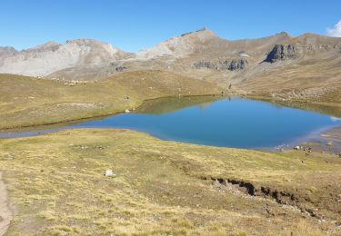
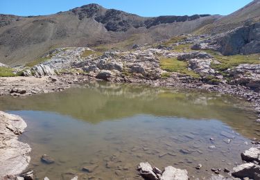
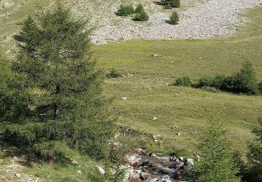
Trail Snowshoes of 8.7 km to be discovered at Provence-Alpes-Côte d'Azur, Alpes-de-Haute-Provence, Uvernet-Fours. This trail is proposed by GAPIAN43.
Longue randonnée. Difficile d'arriver au col de la Bonnette pour faire un coucou à la Tinée. ( Quels bons moments passés quand ces coins-là... mais sur deux roues.)
Walking

Walking

Walking

Walking
On foot
Walking
Walking
Walking
Walking