

Voie verte - descente sur Le Puy en Velay

cathyetyves
User

Length
26 km

Max alt
1019 m

Uphill gradient
405 m

Km-Effort
33 km

Min alt
612 m

Downhill gradient
794 m
Boucle
No
Creation date :
2015-06-08 00:00:00.0
Updated on :
2015-06-08 00:00:00.0
1h49
Difficulty : Very easy

FREE GPS app for hiking
About
Trail Cycle of 26 km to be discovered at Auvergne-Rhône-Alpes, Haute-Loire, Le Brignon. This trail is proposed by cathyetyves.
Description
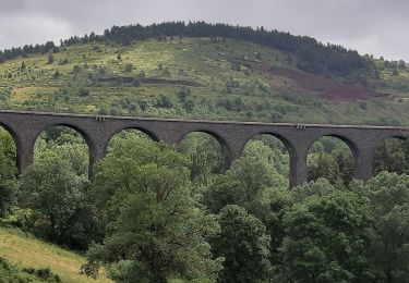
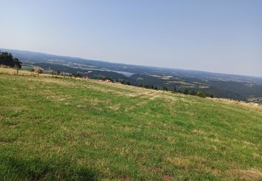
Le parcours emprunte une ancienne voie de chemin de fer, la voie est recouverte de petits graviers très roulants pour les vélos, des paysages magnifiques, plusieurs tunnels éclairés, pour certains de près de 1200 m, une descente en pente douce sur le Puy en Velay.
Positioning
Country:
France
Region :
Auvergne-Rhône-Alpes
Department/Province :
Haute-Loire
Municipality :
Le Brignon
Location:
Unknown
Start:(Dec)
Start:(UTM)
566613 ; 4974492 (31T) N.
Comments
Trails nearby
cascade de la beaume haute loire


Walking
Very easy
(3)
Solignac-sur-Loire,
Auvergne-Rhône-Alpes,
Haute-Loire,
France

10.3 km | 13 km-effort
3h 23min
No
STEVENSON Le Boucher St Nicolas à Pradelles


Walking
Easy
Le Bouchet-Saint-Nicolas,
Auvergne-Rhône-Alpes,
Haute-Loire,
France

16 km | 19.4 km-effort
4h 24min
No
Grand tour du Lac du Bouchet


Walking
Very easy
Cayres,
Auvergne-Rhône-Alpes,
Haute-Loire,
France

5 km | 6.3 km-effort
1h 10min
Yes
Etape 2 Bouchet st Nicolas Pradelles


Walking
Medium
Le Bouchet-Saint-Nicolas,
Auvergne-Rhône-Alpes,
Haute-Loire,
France

23 km | 28 km-effort
5h 26min
No
Le Bouchet St Nicolas,Pradelle


Walking
Easy
Le Bouchet-Saint-Nicolas,
Auvergne-Rhône-Alpes,
Haute-Loire,
France

22 km | 27 km-effort
6h 58min
No
08-05-2023 E3 Le Bouchet Saint Nicolas - Langogne


Walking
Very difficult
(1)
Le Bouchet-Saint-Nicolas,
Auvergne-Rhône-Alpes,
Haute-Loire,
France

27 km | 34 km-effort
7h 39min
No
pradelles


Walking
Very difficult
Le Bouchet-Saint-Nicolas,
Auvergne-Rhône-Alpes,
Haute-Loire,
France

21 km | 26 km-effort
5h 34min
No
Via Regordane - Le Puy - Landos


On foot
Medium
Costaros,
Auvergne-Rhône-Alpes,
Haute-Loire,
France

21 km | 26 km-effort
5h 49min
No
Bouchet - Le Cheylard 2020


Mountain bike
Medium
Le Bouchet-Saint-Nicolas,
Auvergne-Rhône-Alpes,
Haute-Loire,
France

49 km | 62 km-effort
5h 35min
No


 SityTrail


