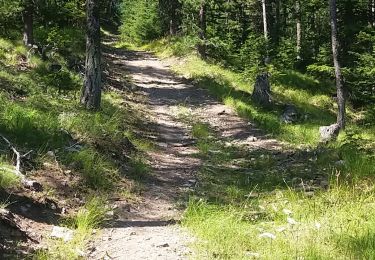
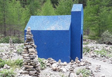
7.2 km | 11 km-effort
Refuge de Cebieres - Crevoux - AR
Maca8284
User
Length
10.3 km
Max alt
1917 m
Uphill gradient
308 m
Km-Effort
15.7 km
Min alt
1229 m
Downhill gradient
688 m
Boucle
No
Creation date :
2025-01-04 13:01:17.373
Updated on :
2025-01-04 16:18:17.999
3h16
Difficulty : Very easy
FREE GPS app for hiking
About
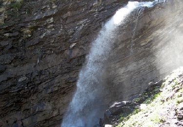
Trail Snowshoes of 10.3 km to be discovered at Provence-Alpes-Côte d'Azur, Hautes-Alpes, Crévoux. This trail is proposed by Maca8284.
Positioning
Country:
France
Region :
Provence-Alpes-Côte d'Azur
Department/Province :
Hautes-Alpes
Municipality :
Crévoux
Location:
Unknown
Start:(Dec)
Start:(UTM)
309937 ; 4935320 (32T) N.
Comments
Trails nearby
La Cascade de Razis
Walking
Medium
(5)
Crévoux,
Provence-Alpes-Côte d'Azur,
Hautes-Alpes,
France
3h 30min
Yes
Ski. Sommet de Meale par Praveyral
Other activity
Very easy
(6)
Crévoux,
Provence-Alpes-Côte d'Azur,
Hautes-Alpes,
France
7.4 km | 16.7 km-effort
3h 20min
No
boucle lac du crachet
Walking
Difficult
(1)
Crévoux,
Provence-Alpes-Côte d'Azur,
Hautes-Alpes,
France
10.3 km | 21 km-effort
4h 50min
Yes
PARCOURS DES FEES #7
Walking
Medium
(1)
Crévoux,
Provence-Alpes-Côte d'Azur,
Hautes-Alpes,
France
8.3 km | 11.6 km-effort
2h 35min
Yes
2012-08-10_Sentier du garde
Walking
Medium
(1)
Les Orres,
Provence-Alpes-Côte d'Azur,
Hautes-Alpes,
France
11.3 km | 17.6 km-effort
4h 6min
Yes
2012-08-07 Méale
Walking
Difficult
(1)
Saint-Sauveur,
Provence-Alpes-Côte d'Azur,
Hautes-Alpes,
France
8.3 km | 14.9 km-effort
3h 34min
Yes
chalet de la biche . mont orel . chapelle de pra leydon . chalet de la coche
Walking
Difficult
Saint-André-d'Embrun,
Provence-Alpes-Côte d'Azur,
Hautes-Alpes,
France
9.4 km | 21 km-effort
4h 59min
No
Sentier des Fées Crevoux 16/08/18
Walking
Easy
Crévoux,
Provence-Alpes-Côte d'Azur,
Hautes-Alpes,
France
6.1 km | 9 km-effort
1h 52min
Yes
Le lac du Crachet
Walking
Very easy
(2)
Crévoux,
Provence-Alpes-Côte d'Azur,
Hautes-Alpes,
France
3.6 km | 9.7 km-effort
2h 15min
No