


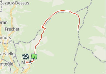

9.9 km | 18.4 km-effort


FREE GPS app for hiking
 SityTrail
IGN / Geographical institutes
SityTrail World
The world is yours!
Trail Walking of 11.1 km to be discovered at Occitania, Hautespyrenees, Mont. This trail is proposed by damerenvielle@gmail.com.
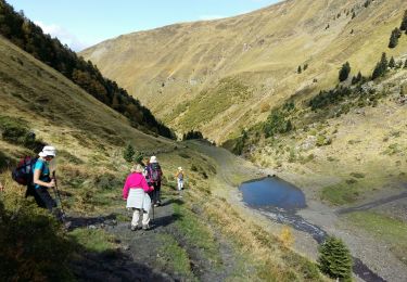
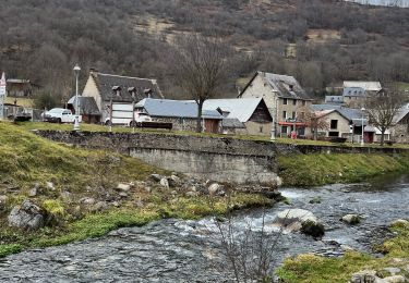
De la vallée de Loudenvielle, le départ est au village de Mont jusqu'au Cap de Peyrehicade en suivant la créte et en direction du sommet de l'aigle.

Walking

Walking

Walking

Walking
Walking

Snowshoes
Walking
Walking
Walking