4.5 km | 6.9 km-effort
Chemin Pte Quesy
Dom_971
User
Length
371 m
Max alt
34 m
Uphill gradient
10 m
Km-Effort
487 m
Min alt
17 m
Downhill gradient
5 m
Boucle
Yes
Creation date :
2024-12-29 13:44:24.008
Updated on :
2024-12-29 13:52:11.573
7m
Difficulty : Easy
FREE GPS app for hiking
About
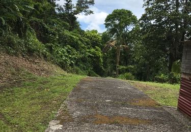
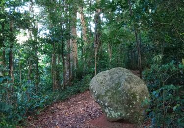
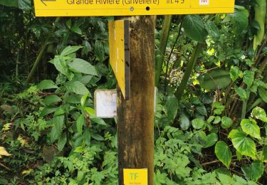
Trail Walking of 371 m to be discovered at Guadeloupe, Unknown, Bouillante. This trail is proposed by Dom_971.
Description
Impossible de descendre à la mer.
Positioning
Country:
France
Region :
Guadeloupe
Department/Province :
Unknown
Municipality :
Bouillante
Location:
Unknown
Start:(Dec)
Start:(UTM)
631124 ; 1780855 (20Q) N.
Comments
Trails nearby
Cascade de Beaugendre
Walking
Very easy
(1)
Vieux-Habitants,
Guadeloupe,
Unknown,
France
7 km | 11 km-effort
2h 31min
Yes
Trou à Diable
Walking
Easy
(1)
Bouillante,
Guadeloupe,
Unknown,
France
3.8 km | 5.9 km-effort
1h 22min
Yes
Pointe à Lézard - Anse à Sable
Walking
Very easy
Bouillante,
Guadeloupe,
Unknown,
France
4.6 km | 6.9 km-effort
1h 30min
Yes
Beaugendre-Village
On foot
Medium
Vieux-Habitants,
Guadeloupe,
Unknown,
France
12.3 km | 27 km-effort
6h 6min
No
grand camp
Other activity
Very difficult
Vieux-Habitants,
Guadeloupe,
Unknown,
France
25 km | 48 km-effort
13h 45min
No
Crête des Bois
Walking
Medium
Bouillante,
Guadeloupe,
Unknown,
France
3.9 km | 8.6 km-effort
1h 34min
Yes
Traces des 3 crêtes
Walking
Difficult
Bouillante,
Guadeloupe,
Unknown,
France
9.4 km | 20 km-effort
6h 35min
No
SityTrail - Trou à diable - Morne Cadet - Forêt Ricard - Reco CDM - 15/09/2024
sport
Very easy
Bouillante,
Guadeloupe,
Unknown,
France
7.7 km | 0 m-effort
Unknown
Yes