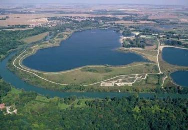
7.2 km | 8 km-effort
Mitry
PatRando
User
Length
14 km
Max alt
68 m
Uphill gradient
79 m
Km-Effort
15.1 km
Min alt
51 m
Downhill gradient
79 m
Boucle
Yes
Creation date :
2016-12-17 00:00:00.0
Updated on :
2016-12-17 00:00:00.0
3h19
Difficulty : Easy
FREE GPS app for hiking
About
Trail Walking of 14 km to be discovered at Ile-de-France, Seine-et-Marne, Mitry-Mory. This trail is proposed by PatRando.
Description
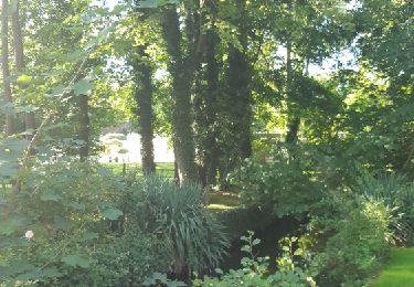
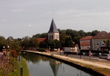
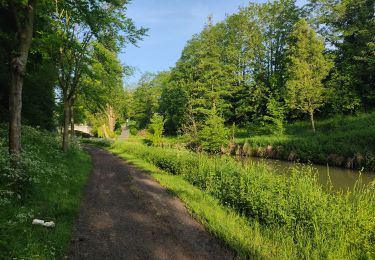
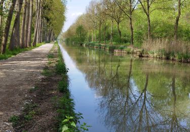
07-06-2015 : Balade de Mitry à Gressy en passant par le Canal de l'Ourcq
Positioning
Country:
France
Region :
Ile-de-France
Department/Province :
Seine-et-Marne
Municipality :
Mitry-Mory
Location:
Unknown
Start:(Dec)
Start:(UTM)
473000 ; 5424454 (31U) N.
Comments
Trails nearby
SM_Saint-MESMES_7.2Km
Walking
Medium
(6)
Saint-Mesmes,
Ile-de-France,
Seine-et-Marne,
France
1h 47min
Yes
VILLEPARISIS --> MITRY CLAYE 22 KM
Walking
Very difficult
(1)
Mitry-Mory,
Ile-de-France,
Seine-et-Marne,
France
21 km | 24 km-effort
5h 25min
No
CRAB - Téléthon - Claye-Souilly
Walking
Easy
Claye-Souilly,
Ile-de-France,
Seine-et-Marne,
France
12.8 km | 14.1 km-effort
2h 31min
Yes
Claye Souilly
Walking
Medium
Claye-Souilly,
Ile-de-France,
Seine-et-Marne,
France
25 km | 27 km-effort
6h 0min
Yes
L'aqueduc de la Dhuys
Walking
Medium
Mitry-Mory,
Ile-de-France,
Seine-et-Marne,
France
18.2 km | 21 km-effort
4h 43min
No
SM_THIEUX_SUD_8.6Km
Walking
Easy
Thieux,
Ile-de-France,
Seine-et-Marne,
France
8.6 km | 9.7 km-effort
2h 45min
Yes
Grand V à Villeparisis
Mountain bike
Difficult
Villeparisis,
Ile-de-France,
Seine-et-Marne,
France
47 km | 57 km-effort
3h 30min
Yes
Tremblay Claye
Walking
Difficult
Tremblay-en-France,
Ile-de-France,
Seine-Saint-Denis,
France
17 km | 18.2 km-effort
3h 1min
Yes
Promenade dans les pas de Cosette
Walking
Difficult
(1)
Vaujours,
Ile-de-France,
Seine-Saint-Denis,
France
15.1 km | 18.2 km-effort
4h 10min
Yes
Deux tronçons de ce circuit sont difficilement praticables (sentier ou chemin non entretenus).