


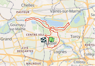

16.8 km | 18.1 km-effort

User


FREE GPS app for hiking
 SityTrail
IGN / Geographical institutes
SityTrail World
The world is yours!
Trail Walking of 17.8 km to be discovered at Ile-de-France, Seine-et-Marne, Noisiel. This trail is proposed by c.chehere.
Rando sympa le long de la Marne en longeant le plan d'eau de Vaires sur Marne (épreuves aviron des JO 2024) et vues sur l'ancienne chocolaterie Meunier.
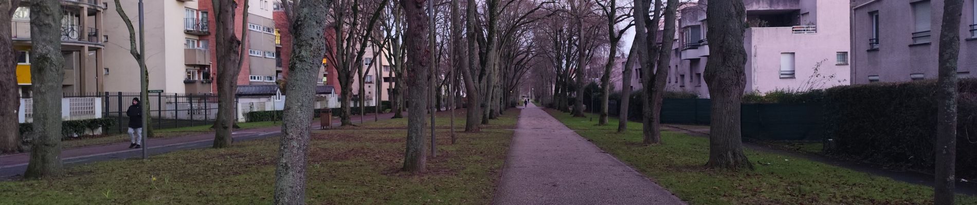
Sentiers gras après les pluies


Walking

Walking

Walking

Walking

Walking
Walking

Walking

Walking
Walking