

Hospice du Grand-Saint-Bernard

verbier
User

Length
4.8 km

Max alt
2478 m

Uphill gradient
537 m

Km-Effort
10.2 km

Min alt
1936 m

Downhill gradient
0 m
Boucle
No
Creation date :
2014-12-10 00:00:00.0
Updated on :
2014-12-10 00:00:00.0
2h39
Difficulty : Unknown

FREE GPS app for hiking
About
Trail Walking of 4.8 km to be discovered at Valais/Wallis, Entremont, Bourg-Saint-Pierre. This trail is proposed by verbier.
Description
From Bourg-St-Bernard, the path goes up to the south for an easy ascent to the Combe de Barasson. From there, the ascent is a little bit unflagging in the Combe des Morts during around 30 minutes to meet the hospice.
Positioning
Country:
Switzerland
Region :
Valais/Wallis
Department/Province :
Entremont
Municipality :
Bourg-Saint-Pierre
Location:
Unknown
Start:(Dec)
Start:(UTM)
360038 ; 5084411 (32T) N.
Comments
Trails nearby
st. Bernard


Walking
Very easy
(2)
Bourg-Saint-Pierre,
Valais/Wallis,
Entremont,
Switzerland

44 km | 116 km-effort
6h 17min
No
Chemins pédestres, région St-Bernard


On foot
Easy
Bourg-Saint-Pierre,
Valais/Wallis,
Entremont,
Switzerland

8.6 km | 18.8 km-effort
4h 15min
No
Via Alpina Red R117


On foot
Very difficult
Bourg-Saint-Pierre,
Valais/Wallis,
Entremont,
Switzerland

27 km | 46 km-effort
10h 25min
No
Tour du Lac des Toules


On foot
Medium
Bourg-Saint-Pierre,
Valais/Wallis,
Entremont,
Switzerland

14.4 km | 25 km-effort
5h 44min
Yes
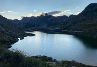
St Bernard


Walking
Medium
Bourg-Saint-Pierre,
Valais/Wallis,
Entremont,
Switzerland

4.7 km | 8.1 km-effort
2h 49min
Yes
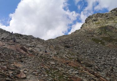
col du St Bernard


Walking
Easy
Saint-Rhémy-en-Bosses,
Aosta Valley,
Unknown,
Italy

1.8 km | 4.5 km-effort
2h 21min
No

col du Grand st Bernard


Touring skiing
Very easy
Bourg-Saint-Pierre,
Valais/Wallis,
Entremont,
Switzerland

5.1 km | 10.5 km-effort
2h 15min
No

Mont Fourchu


Winter sports
Medium
Bourg-Saint-Pierre,
Valais/Wallis,
Entremont,
Switzerland

4.5 km | 10 km-effort
3h 0min
No

Bourg-St-Pierre, Cabane du Vélan


Walking
Very easy
Bourg-Saint-Pierre,
Valais/Wallis,
Entremont,
Switzerland

9.5 km | 19.8 km-effort
5h 30min
Yes


 SityTrail




approche