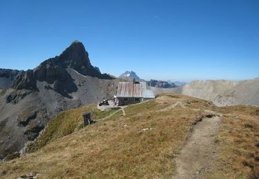
12.8 km | 18 km-effort
Wallis North 4 : Ardon - Gsteig
ovronne
User
Length
33 km
Max alt
2347 m
Uphill gradient
2316 m
Km-Effort
61 km
Min alt
482 m
Downhill gradient
1620 m
Boucle
No
Creation date :
2014-12-10 00:00:00.0
Updated on :
2014-12-10 00:00:00.0
4h43
Difficulty : Unknown
FREE GPS app for hiking
About
Trail Mountain bike of 33 km to be discovered at Valais/Wallis, Conthey, Ardon. This trail is proposed by ovronne.
Positioning
Country:
Switzerland
Region :
Valais/Wallis
Department/Province :
Conthey
Municipality :
Ardon
Location:
Unknown
Start:(Dec)
Start:(UTM)
365381 ; 5118941 (32T) N.
Comments
Trails nearby
Chemin des berges du Rhône
On foot
Easy
Ardon,
Valais/Wallis,
Conthey,
Switzerland
4.4 km | 4.9 km-effort
1h 6min
No
Tour du Massif des Muverans
Walking
Very easy
Sion,
Valais/Wallis,
Sion,
Switzerland
6.2 km | 14.1 km-effort
22h 11min
No
st_bg_conthey
Other activity
Very easy
Conthey,
Valais/Wallis,
Conthey,
Switzerland
22 km | 42 km-effort
9h 21min
No
Tour du MontFort - easy
Mountain bike
Very easy
Nendaz,
Valais/Wallis,
Conthey,
Switzerland
48 km | 84 km-effort
Unknown
Yes
Sentier des pives
Walking
Difficult
Nendaz,
Valais/Wallis,
Conthey,
Switzerland
10 km | 16.7 km-effort
3h 48min
Yes
Martigny -Sion iii
Cycle
Very easy
Saillon,
Valais/Wallis,
Martigny,
Switzerland
51 km | 58 km-effort
2h 21min
Yes
Ardon, Einzon
Walking
Very easy
Ardon,
Valais/Wallis,
Conthey,
Switzerland
8.1 km | 21 km-effort
6h 30min
Yes