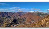
Trail Walking Marcoux - Randonnee-des-chenes-des-buis-et-du-thym-crete-de-liman - Photo

Randonnee-des-chenes-des-buis-et-du-thym-crete-de-liman

© OpenStreetMap contributors
Length
Length
8.9 km
Max alt
Max alt
1293 m
Uphill gradient
Uphill gradient
618 m
Km-Effort
Km-Effort  
17.1 km
Min alt
Min alt
691 m
Downhill gradient
Downhill gradient
603 m
Boucle
Boucle
Yes
Creation date :
2024-12-11 09:26:32.278
Updated on :
2024-12-11 09:33:52.887

(0 Reviews)

Walking
Walking
3h53
Difficulty : Difficult

Scan this QR Code to open this trail in the SityTrail application

FREE GPS app for hiking

Logo SityTrail SityTrail
IGN / Geographical institutes

Download SityTrail from the App Store Download SityTrail from Google Play

Logo SityTrail SityTrail World

The world is yours!

Download SityTrail from the App Store Download SityTrail from Google Play Download SityTrail on Huawei AppGallery

About

Trail Walking of 8.9 km to be discovered at Provence-Alpes-Côte d'Azur, Alpes-de-Haute-Provence, Marcoux. This trail is proposed by PapouBertrand.

Description

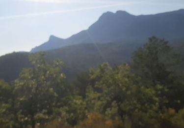
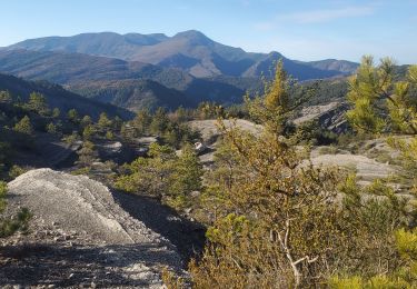
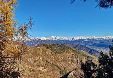
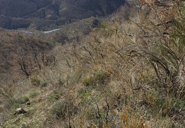
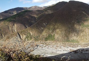
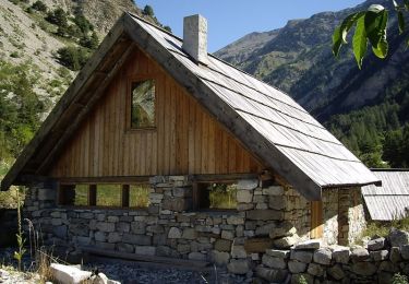
Très jolie randonnée avec de belles couleurs d'automne, très bien balisée et parfaitement orientée pour profiter du soleil tout au long de la journée. La montée se fait au milieu des chênes et offre une très belle vue sur la vallée de la Bléone et le massif des trois évêchés. L'arrivée sur la crête ouvre une magnifique perspective sur la vallée du Bès, les crêtes de Bélier, le Blayeul et, plus éloigné, les cloches de Barles. La descente le long de la crête est tout aussi agréable, serpentant à travers des buissons de buis et de thyms sauvages dont les parfums enivrent et ajoutent une touche sensorielle à cette belle aventure.

Elevation profile

Photos

Points of interest

Point of interest Marcoux - Départ des Granges - Photo
PapouBertrand
Point of interest Marcoux - Patte d'oie - Photo
PapouBertrand
MARCOUX 
Point of interest Marcoux - Accès à la crête - Photo
PapouBertrand
Point of interest Marcoux - Carrefour Piste/Sentier - Photo
PapouBertrand
Point of interest Marcoux - Arrivé aux Granges - Photo
PapouBertrand

Positioning

Country:
France
Region :
Provence-Alpes-Côte d'Azur
Department/Province :
Alpes-de-Haute-Provence
Municipality :
Marcoux
Location:
Unknown
Start:(UTM)
281287 ; 4890630 (32T) N.

Comments

Please log in to post a review or rate the element


Magnifiques photos ! Merci pour ce partage :)


Trails nearby

Trail Walking Digne-les-Bains - DIGNE. LA PLATRIERE. RUINES DE GIVAUDAN. CHAPELLE MADELEINE. O L S - Photo
Walking
GUIDE
RobinMicheline

Walking

Difficult
Digne-les-Bains, Provence-Alpes-Côte d'Azur, Alpes-de-Haute-Provence, France
11.1 km | 18.4 km-effort
4h 32min
Yes
Trail Walking Marcoux - DIGNE . LES ROBINES DU BANASTRE  n ol - Photo
Walking
GUIDE
RobinMicheline

Walking

Easy
Marcoux, Provence-Alpes-Côte d'Azur, Alpes-de-Haute-Provence, France
11.4 km | 17.2 km-effort
3h 27min
Yes
Trail Walking Le Brusquet - LE MOUSTEIRET. Ruine Chalvet .Col de l Escuichiere . Le Villard o m s  - Photo
Walking
GUIDE
RobinMicheline

Walking

Medium
Le Brusquet, Provence-Alpes-Côte d'Azur, Alpes-de-Haute-Provence, France
10.1 km | 17.3 km-effort
3h 25min
Yes
Trail Walking Marcoux - Villar des dourbes archail 734m 12kms - Photo
Walking
GUIDE
Danielba

Walking

Easy
Marcoux, Provence-Alpes-Côte d'Azur, Alpes-de-Haute-Provence, France
15.8 km | 23 km-effort
7h 10min
Yes
Trail Walking Digne-les-Bains - Sommet-de-la-bigue-en-boucle - Photo
Walking
PapouBertrand

Walking

Very difficult
Digne-les-Bains, Provence-Alpes-Côte d'Azur, Alpes-de-Haute-Provence, France
12 km | 22 km-effort
5h 5min
Yes
Trail Walking Marcoux - Marcoux crete de liman 950m 15kms  - Photo
Walking
GUIDE
Danielba

Walking

Medium
Marcoux, Provence-Alpes-Côte d'Azur, Alpes-de-Haute-Provence, France
14.7 km | 25 km-effort
7h 31min
No
Trail On foot Marcoux - La Crête de Liman - Photo
On foot
GUIDE+

On foot

Easy
Marcoux, Provence-Alpes-Côte d'Azur, Alpes-de-Haute-Provence, France
10 km | 18.5 km-effort
4h 12min
No
Trail Walking Le Brusquet - LE BRUSQUET  .Le tour des Blaches n - Photo
Walking
GUIDE
RobinMicheline

Walking

Difficult
Le Brusquet, Provence-Alpes-Côte d'Azur, Alpes-de-Haute-Provence, France
13.4 km | 20 km-effort
3h 56min
Yes
Trail Mountain bike Digne-les-Bains - La dalle aux Ammonites - Digne-les-Bains  - Photo
Mountain bike
tracegps

Mountain bike

Very difficult
Digne-les-Bains, Provence-Alpes-Côte d'Azur, Alpes-de-Haute-Provence, France
23 km | 37 km-effort
3h 30min
Yes


Close
My subscriptions