3.8 km | 4.3 km-effort
lolif très pentu
ledouxjosette
User
Length
12 km
Max alt
117 m
Uphill gradient
229 m
Km-Effort
15 km
Min alt
34 m
Downhill gradient
228 m
Boucle
Yes
Creation date :
2024-12-10 12:54:22.698
Updated on :
2024-12-10 15:35:55.827
2h41
Difficulty : Difficult
FREE GPS app for hiking
About
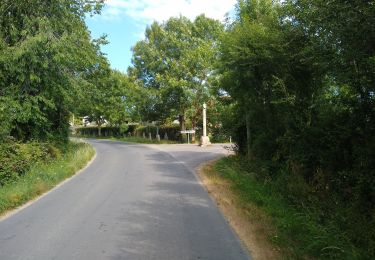
Trail Walking of 12 km to be discovered at Normandy, Manche, Lolif. This trail is proposed by ledouxjosette.
Positioning
Country:
France
Region :
Normandy
Department/Province :
Manche
Municipality :
Lolif
Location:
Unknown
Start:(Dec)
Start:(UTM)
618173 ; 5399243 (30U) N.
Comments
Trails nearby
sortie pierro
4x4
Very easy
Sartilly-Baie-Bocage,
Normandy,
Manche,
France
39 km | 46 km-effort
1h 49min
Yes
sartilly
Walking
Difficult
Sartilly-Baie-Bocage,
Normandy,
Manche,
France
10.8 km | 13.3 km-effort
3h 1min
Yes
sartilly Rochelle normande petit peu de voitur
Walking
Very difficult
Sartilly-Baie-Bocage,
Normandy,
Manche,
France
20 km | 23 km-effort
2h 48min
No
le grand champillon tissey
Walking
Very easy
Bacilly,
Normandy,
Manche,
France
4.6 km | 5.2 km-effort
52min
Yes