


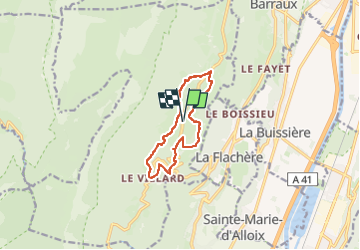

14.4 km | 27 km-effort


User


FREE GPS app for hiking
 SityTrail
IGN / Geographical institutes
SityTrail World
The world is yours!
Trail Walking of 10.5 km to be discovered at Auvergne-Rhône-Alpes, Isère, Sainte-Marie-du-Mont. This trail is proposed by patpounet73.
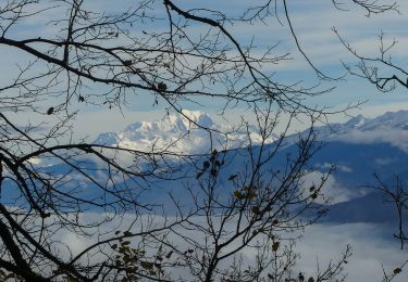
Randonnée très agréable.
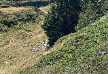
Les sentiers sont bien entretenus et bien balisés.
Merci infiniment à ceux qui gèrent le secteur.
Ce jour, 4/12/2024, un beau ciel bleu mais une bise glaciale.

Walking

Walking

Snowshoes

Walking

Walking

Walking

Walking
Walking
Walking