

Parcs de Valescure vers piste Castelli (ajout)
© OpenStreetMap contributors


Length
3.6 km

Max alt
96 m

Uphill gradient
61 m

Km-Effort
4.4 km

Min alt
56 m

Downhill gradient
64 m
Boucle
Yes
Creation date :
2024-12-03 09:45:08.0
Updated on :
2024-12-03 10:43:12.562

FREE GPS app for hiking
About
Trail of 3.6 km to be discovered at Provence-Alpes-Côte d'Azur, Var, Saint-Raphaël. This trail is proposed by 000979.092a687e627a48f0abbdcf294733a592.1922.
Description
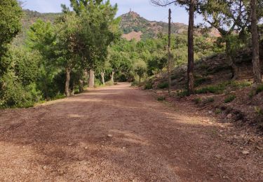
Possible le jeudi matin pour les groupes 2 : durée plus longue, chemin un peu étroit, 200 m un peu caillouteux
Positioning
Country:
France
Region :
Provence-Alpes-Côte d'Azur
Department/Province :
Var
Municipality :
Saint-Raphaël
Location:
Unknown
Start:(Dec)
Start:(UTM)
322219 ; 4814189 (32T) N.
Comments
Trails nearby
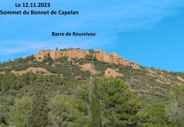
Sommet du Bonnet de Capelan


Walking
Very difficult
(1)
Saint-Raphaël,
Provence-Alpes-Côte d'Azur,
Var,
France

17.7 km | 25 km-effort
4h 40min
Yes
Les lacs par les rochers du Caneiret


Walking
Medium
(1)
Saint-Raphaël,
Provence-Alpes-Côte d'Azur,
Var,
France

20 km | 29 km-effort
5h 7min
Yes
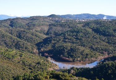
Lac de l'Avelan au départ du col d'Auriasque


Walking
Easy
(2)
Fréjus,
Provence-Alpes-Côte d'Azur,
Var,
France

16.6 km | 23 km-effort
5h 39min
Yes
le Dramont


Walking
Medium
(2)
Saint-Raphaël,
Provence-Alpes-Côte d'Azur,
Var,
France

5.7 km | 8.3 km-effort
2h 32min
Yes
z l'Estarpe 13-11-18


Walking
Easy
(1)
Fréjus,
Provence-Alpes-Côte d'Azur,
Var,
France

6.6 km | 8.2 km-effort
1h 51min
Yes

grand tour esterel par belles pistes larges


Mountain bike
Easy
(2)
Fréjus,
Provence-Alpes-Côte d'Azur,
Var,
France

31 km | 40 km-effort
3h 17min
Yes
Mont Vinaigre par Colle Douce


Walking
Very difficult
(1)
Fréjus,
Provence-Alpes-Côte d'Azur,
Var,
France

22 km | 33 km-effort
6h 1min
Yes
Mont Vinaigre


Walking
Easy
(1)
Fréjus,
Provence-Alpes-Côte d'Azur,
Var,
France

7.8 km | 11.9 km-effort
Unknown
Yes
Barre du Roussivau - Sommets des Perthus


Walking
Very difficult
Saint-Raphaël,
Provence-Alpes-Côte d'Azur,
Var,
France

15.7 km | 24 km-effort
5h 22min
Yes


 SityTrail


