


7.1 km | 12.5 km-effort

User


FREE GPS app for hiking
 SityTrail
IGN / Geographical institutes
SityTrail World
The world is yours!
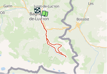
Trail Mountain bike of 24 km to be discovered at Occitania, Haute-Garonne, Bagnères-de-Luchon. This trail is proposed by jjduvar.
montée goudronnée puis routes forestieres fin sur single


Snowshoes

Walking

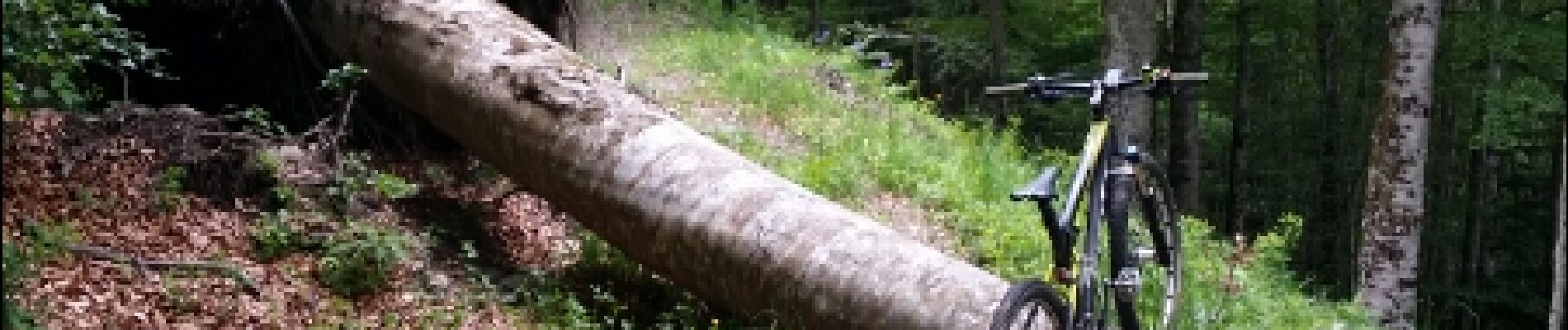
Mountain bike

Walking

Walking

Walking

Walking
Walking
Walking