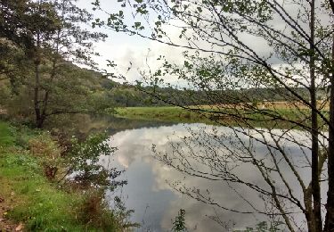
22 km | 26 km-effort
CHÂTEAULIN
RonanDAGORN
User
Length
13.2 km
Max alt
222 m
Uphill gradient
364 m
Km-Effort
18.1 km
Min alt
3 m
Downhill gradient
366 m
Boucle
Yes
Creation date :
2024-11-30 15:35:35.19
Updated on :
2024-11-30 19:10:11.659
2h52
Difficulty : Medium
FREE GPS app for hiking
About
Trail Walking of 13.2 km to be discovered at Brittany, Finistère, Châteaulin. This trail is proposed by RonanDAGORN.
Description
Téléthon 2024 en nocturne
2h52 de marche effective
Positioning
Country:
France
Region :
Brittany
Department/Province :
Finistère
Municipality :
Châteaulin
Location:
Unknown
Start:(Dec)
Start:(UTM)
419083 ; 5338237 (30U) N.
Comments
Trails nearby
Circuit du Bois de Saint-Gildas
On foot
Easy
Cast,
Brittany,
Finistère,
France
8.8 km | 11.7 km-effort
2h 38min
Yes
port launay
Walking
Easy
Saint-Ségal,
Brittany,
Finistère,
France
9.3 km | 11.1 km-effort
1h 49min
No
Boucle Chateaulin -Port Launay
Walking
Easy
Châteaulin,
Brittany,
Finistère,
France
10.1 km | 11.8 km-effort
2h 18min
Yes
Saint-Coulitz
Walking
Easy
Saint-Coulitz,
Brittany,
Finistère,
France
10.3 km | 12.9 km-effort
2h 49min
Yes
Châteaulin Châteauneuf du Faou
Electric bike
Medium
Châteaulin,
Brittany,
Finistère,
France
89 km | 103 km-effort
6h 42min
Yes