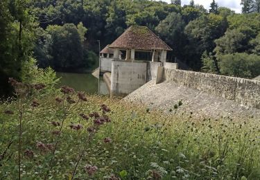
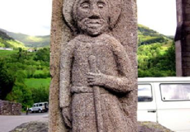
Trail Walking Saint-Étienne-Cantalès - Le calvaire st Étienne Cantales Puechmeserie - Photo

Le calvaire st Étienne Cantales Puechmeserie

© OpenStreetMap contributors
Length
Length
8.4 km
Max alt
Max alt
601 m
Uphill gradient
Uphill gradient
260 m
Km-Effort
Km-Effort  
11.7 km
Min alt
Min alt
467 m
Downhill gradient
Downhill gradient
216 m
Boucle
Boucle
No
Creation date :
2024-11-30 12:58:12.468
Updated on :
2024-11-30 15:23:41.553

(0 Reviews)

Walking
Walking
2h24
Difficulty : Medium

Scan this QR Code to open this trail in the SityTrail application

FREE GPS app for hiking

Logo SityTrail SityTrail

IGN / Geographical institutes

Download SityTrail from the App Store Download SityTrail from Google Play

Logo SityTrail SityTrail World

The world is yours!

Download SityTrail from the App Store Download SityTrail from Google Play Download SityTrail on Huawei AppGallery

About

Trail Walking of 8.4 km to be discovered at Auvergne-Rhône-Alpes, Cantal, Saint-Étienne-Cantalès. This trail is proposed by delzonsgeraud.

Elevation profile

Positioning

Country:
France
Region :
Auvergne-Rhône-Alpes
Department/Province :
Cantal
Municipality :
Saint-Étienne-Cantalès
Location:
Unknown
Start:(UTM)
439042 ; 4977794 (31T) N.

Trails nearby

Trail Road bike Laroquebrou - Laroquebrou circuit autour du lac  - Photo
Road bike
GUIDE
nadd73

Road bike

Medium
Laroquebrou, Auvergne-Rhône-Alpes, Cantal, France
39 km | 50 km-effort
2h 15min
Yes
Trail Walking Lacapelle-Viescamp - Boucle du Marais Cassan Calvanhac - Photo
Walking
zefreefly

Walking

Easy
Lacapelle-Viescamp, Auvergne-Rhône-Alpes, Cantal, France
15.2 km | 18.1 km-effort
3h 23min
Yes
Trail Walking Laroquebrou - La Via Arverna (Laroquebrou - Camps-Saint-Mathurin) - Photo
Walking
tracegps

Walking

Difficult
Laroquebrou, Auvergne-Rhône-Alpes, Cantal, France
24 km | 34 km-effort
7h 30min
No
Trail Walking Nieudan - Cas 11 bis - Photo
Walking
delzonsgeraud

Walking

Medium
Nieudan, Auvergne-Rhône-Alpes, Cantal, France
7.1 km | 9.3 km-effort
3h 6min
Yes
Trail Walking Nieudan - Le Meyrou - Photo
Walking
delzonsgeraud

Walking

Medium
Nieudan, Auvergne-Rhône-Alpes, Cantal, France
6.9 km | 8.7 km-effort
3h 8min
No
Trail Walking Nieudan - Les Garrigues Laveissiere Le Meyniel - Photo
Walking
delzonsgeraud

Walking

Medium
Nieudan, Auvergne-Rhône-Alpes, Cantal, France
5.7 km | 7.8 km-effort
1h 42min
Yes
Trail Walking Nieudan - La Gourgue Cas2 - Photo
Walking
delzonsgeraud

Walking

Medium
Nieudan, Auvergne-Rhône-Alpes, Cantal, France
6.6 km | 9.2 km-effort
2h 56min
Yes
Trail Walking Nieudan - Grand Laveissieres Le Meyniel - Photo
Walking
delzonsgeraud

Walking

Medium
Nieudan, Auvergne-Rhône-Alpes, Cantal, France
5.2 km | 7 km-effort
2h 17min
Yes
Trail Walking Laroquebrou - Montmiole- Laroquebrou-Puech Mezerie- Gresse- La Margide - Photo
Walking
delzonsgeraud

Walking

Difficult
Laroquebrou, Auvergne-Rhône-Alpes, Cantal, France
10.8 km | 14.4 km-effort
3h 8min
Yes


Close
My subscriptions