


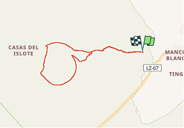

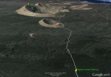
12.1 km | 17.8 km-effort

User


FREE GPS app for hiking
 SityTrail
IGN / Geographical institutes
SityTrail World
The world is yours!
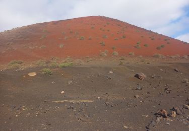
Trail Walking of 9.8 km to be discovered at Canary Islands, Las Palmas, Tinajo. This trail is proposed by HT029.
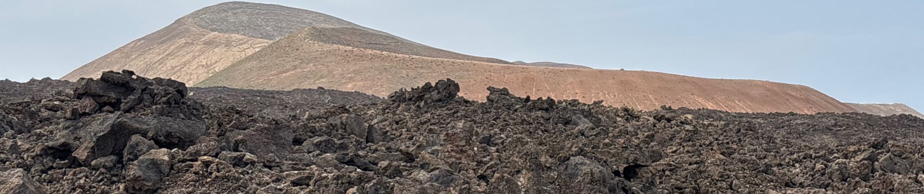
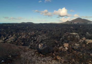
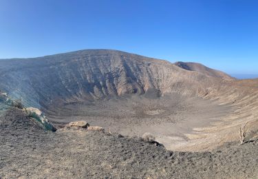
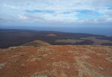
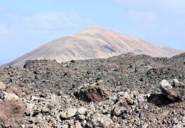
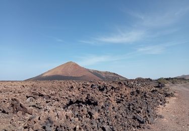
Superbe randonnée autour du cratère. Pas recommandé pour ceux qui ont le vertige en altitude. Solides chaussures indispensables, nombreux passages dans les cailloux de lave.


Walking

Walking

Walking
Walking
Walking
Snowshoes
Walking
Walking