


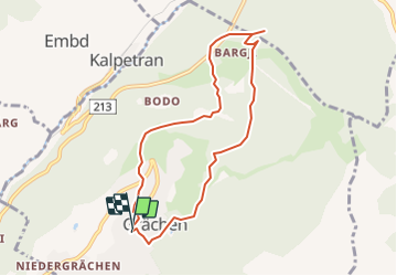


4.3 km | 6.2 km-effort


User


FREE GPS app for hiking
 SityTrail
IGN / Geographical institutes
SityTrail World
The world is yours!
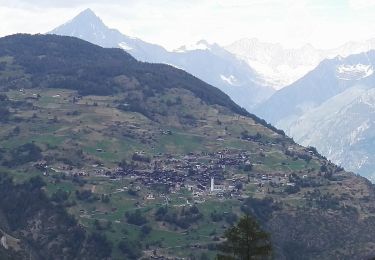
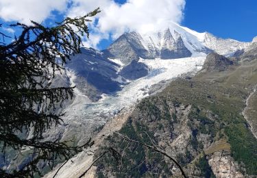
Trail Walking of 7.7 km to be discovered at Valais/Wallis, Visp, Grächen. This trail is proposed by yveshumbert.
Après une courte montée, le chemin suit le bisse. Puis on commence la descente jusqu'' à Hohtschugge. A Hohtschugge vous avec un restaurant. Le retour se fait par un joli chemin.
On foot
On foot
On foot
On foot
Walking
Walking

Other activity
Other activity

Mountain bike