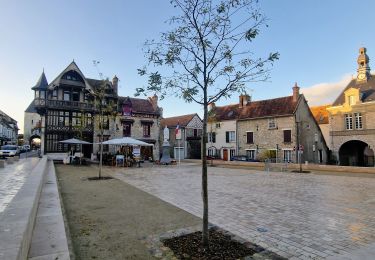
10.8 km | 13.2 km-effort
Forêt de Nemours (1)
jpcccb
User
Length
16.4 km
Max alt
129 m
Uphill gradient
219 m
Km-Effort
19.3 km
Min alt
57 m
Downhill gradient
220 m
Boucle
No
Creation date :
2024-11-27 14:45:09.785
Updated on :
2024-12-01 12:36:03.644
4h23
Difficulty : Very difficult
FREE GPS app for hiking
About
Trail Walking of 16.4 km to be discovered at Ile-de-France, Seine-et-Marne, Bagneaux-sur-Loing. This trail is proposed by jpcccb.
Positioning
Country:
France
Region :
Ile-de-France
Department/Province :
Seine-et-Marne
Municipality :
Bagneaux-sur-Loing
Location:
Unknown
Start:(Dec)
Start:(UTM)
477977 ; 5341983 (31U) N.
Comments
Trails nearby
Rochers Gréau et Puiselet
Walking
Medium
(1)
Saint-Pierre-lès-Nemours,
Ile-de-France,
Seine-et-Marne,
France
2h 41min
Yes
Le Mont Blanc de la Commanderie
On foot
Medium
Saint-Pierre-lès-Nemours,
Ile-de-France,
Seine-et-Marne,
France
26 km | 30 km-effort
6h 50min
No
De Nemours à Moret + halte resto Bourron Marlotte
Walking
Very easy
Saint-Pierre-lès-Nemours,
Ile-de-France,
Seine-et-Marne,
France
33 km | 36 km-effort
6h 14min
No
polynoise 2017
Walking
Medium
(2)
Poligny,
Ile-de-France,
Seine-et-Marne,
France
19.3 km | 23 km-effort
3h 44min
Yes
Poligny 55km
Mountain bike
Difficult
(1)
Poligny,
Ile-de-France,
Seine-et-Marne,
France
55 km | 64 km-effort
4h 9min
No
Saint Pierre les Nemours
Walking
Medium
Saint-Pierre-lès-Nemours,
Ile-de-France,
Seine-et-Marne,
France
6.5 km | 7.9 km-effort
1h 39min
No
181109 SVG
Other activity
Very easy
Nemours,
Ile-de-France,
Seine-et-Marne,
France
12.7 km | 14.7 km-effort
5h 22min
Yes
181109 EnCours
Other activity
Very easy
Nemours,
Ile-de-France,
Seine-et-Marne,
France
12.7 km | 14.7 km-effort
5h 22min
Yes
180327 EnCours
Walking
Very easy
Nemours,
Ile-de-France,
Seine-et-Marne,
France
9.1 km | 10.3 km-effort
2h 55min
Yes