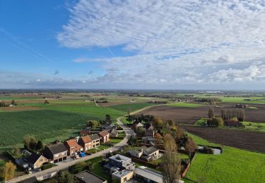
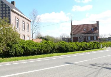
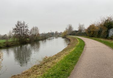
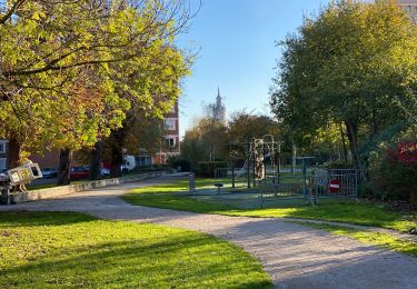
Trail Walking Comines-Warneton - Le BIZET, la Lys et la zone frontalière version 11km - Photo

Le BIZET, la Lys et la zone frontalière version 11km

 fif59280
fif59280

User

© OpenStreetMap contributors
Length
Length
10.9 km
Max alt
Max alt
20 m
Uphill gradient
Uphill gradient
47 m
Km-Effort
Km-Effort  
11.5 km
Min alt
Min alt
8 m
Downhill gradient
Downhill gradient
47 m
Boucle
Boucle
Yes
Creation date :
2024-11-26 10:32:55.089
Updated on :
2024-11-28 14:41:11.37

(0 Reviews)

Walking
Walking
2h37
Difficulty : Medium

Scan this QR Code to open this trail in the SityTrail application

FREE GPS app for hiking

Logo SityTrail SityTrail

IGN / Geographical institutes

Download SityTrail from the App Store Download SityTrail from Google Play

Logo SityTrail SityTrail World

The world is yours!

Download SityTrail from the App Store Download SityTrail from Google Play Download SityTrail on Huawei AppGallery

About

Trail Walking of 10.9 km to be discovered at Wallonia, Hainaut, Comines-Warneton. This trail is proposed by fif59280.

Description

Coordonnées de départ : N 50°42'28.763"  E2°53'3,792"
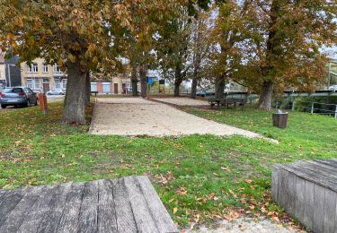
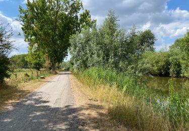
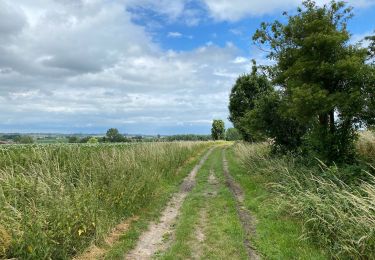
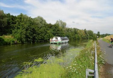
A partir du parking du Bizet, longer la frontière vers le cimetière d'Armentières mais en raison de travaux prendre à gauche avant les abords du cimetière. Arrivé à la Lys, la suivre vers l'ouest jusqu'au nouveau pont proche de l'ancienne brasserie. Suivre ce chemin à droite après avoir franchi le pont et rejoindre le Pont de Nieppe (azimut 25°) puis en longeant la frontière Franco-belge rejoindre le point de départ.

Elevation profile

Positioning

Country:
Belgium
Region :
Wallonia
Department/Province :
Hainaut
Municipality :
Comines-Warneton
Location:
Unknown
Start:(UTM)
491846 ; 5617369 (31U) N.

Trails nearby

Trail Walking Comines-Warneton - Ploegsteert2 - Photo
Walking
Greg813

Walking

Medium
(1)
Comines-Warneton, Wallonia, Hainaut, Belgium
23 km | 26 km-effort
4h 53min
Yes
Trail On foot Heuvelland - Geuzen wandelroute - Photo
On foot
GUIDE+

On foot

Easy
Heuvelland, Flanders, West Flanders, Belgium
9.7 km | 11.4 km-effort
2h 35min
Yes
Trail Walking Deûlémont - de la base de loisir de Deulemont à Toufflers.  - Photo
Walking
jeff2

Walking

Difficult
Deûlémont, Hauts-de-France, Nord, France
38 km | 41 km-effort
9h 32min
No
Trail Walking Frelinghien - Frelinghien 10,9 km - Photo
Walking
GUIDE
rvapeldo

Walking

Medium
Frelinghien, Hauts-de-France, Nord, France
10.9 km | 11.7 km-effort
2h 56min
Yes
Trail Walking Armentières - Armantiere 11 km - Photo
Walking
GUIDE
rvapeldo

Walking

Easy
Armentières, Hauts-de-France, Nord, France
10.9 km | 11.6 km-effort
3h 41min
Yes
Trail Walking Warneton - Warneton 10,6 km - Photo
Walking
GUIDE
rvapeldo

Walking

Very easy
Warneton, Hauts-de-France, Nord, France
10.6 km | 11.3 km-effort
3h 29min
Yes
Trail Walking Frelinghien - Frelinghien Deule 13 km - Photo
Walking
GUIDE
rvapeldo

Walking

Easy
Frelinghien, Hauts-de-France, Nord, France
13.2 km | 14 km-effort
4h 3min
Yes
Trail Walking Heuvelland - Nieuwekerke Bailleul 17,5 km - Photo
Walking
GUIDE
rvapeldo

Walking

Medium
Heuvelland, Flanders, West Flanders, Belgium
18.7 km | 21 km-effort
4h 53min
Yes
Trail Walking Armentières - Au fil de l''eau - Armentières - Photo
Walking
tracegps

Walking

Medium
Armentières, Hauts-de-France, Nord, France
8.5 km | 9.1 km-effort
2h 10min
Yes


Close
My subscriptions