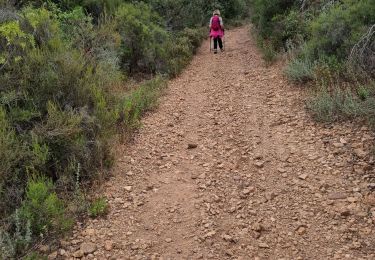
13.3 km | 18.3 km-effort
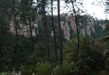
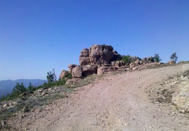
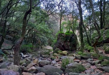
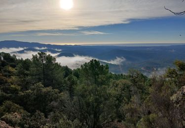
Le château du diable
mb83serre
User
Length
9.9 km
Max alt
556 m
Uphill gradient
399 m
Km-Effort
15.2 km
Min alt
205 m
Downhill gradient
396 m
Boucle
Yes
Creation date :
2024-11-25 07:57:14.549
Updated on :
2024-11-26 07:50:51.969
3h27
Difficulty : Difficult
FREE GPS app for hiking
About
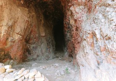
Trail Walking of 9.9 km to be discovered at Provence-Alpes-Côte d'Azur, Var, Bagnols-en-Forêt. This trail is proposed by mb83serre.
Positioning
Country:
France
Region :
Provence-Alpes-Côte d'Azur
Department/Province :
Var
Municipality :
Bagnols-en-Forêt
Location:
Unknown
Start:(Dec)
Start:(UTM)
310505 ; 4822217 (32T) N.
Comments
Trails nearby
les grottes Baume Renaude
Walking
Difficult
(1)
Le Muy,
Provence-Alpes-Côte d'Azur,
Var,
France
5h 13min
No
Forêt de la Colle du Rouet aux Gorges de Blavet - Fréjus
Mountain bike
Difficult
(1)
Puget-sur-Argens,
Provence-Alpes-Côte d'Azur,
Var,
France
23 km | 28 km-effort
3h 0min
Yes
La Colle du Rouet par le Castel Diaou - Le Muy
Walking
Difficult
(2)
Bagnols-en-Forêt,
Provence-Alpes-Côte d'Azur,
Var,
France
18.2 km | 27 km-effort
6h 0min
Yes
PUGET SUR ARGENS- gazoduc-Terres Gastes DRI
On foot
Easy
(1)
Puget-sur-Argens,
Provence-Alpes-Côte d'Azur,
Var,
France
7.7 km | 8.9 km-effort
2h 1min
Yes
BAGNOLS EN FORET- Bois du défens DRI
On foot
Easy
(2)
Bagnols-en-Forêt,
Provence-Alpes-Côte d'Azur,
Var,
France
9.3 km | 12.7 km-effort
2h 52min
Yes
Gorges du Blavet au col de la pierre du coucou
Walking
Difficult
Bagnols-en-Forêt,
Provence-Alpes-Côte d'Azur,
Var,
France
15.8 km | 22 km-effort
4h 44min
Yes
Bagnols en Forêt, Pic de la Gardiette , Oppidum de La Forteresse
Walking
Difficult
Bagnols-en-Forêt,
Provence-Alpes-Côte d'Azur,
Var,
France
9.8 km | 14.3 km-effort
3h 15min
Yes
z la Bouverie 17-09-24
Walking
Medium
Roquebrune-sur-Argens,
Provence-Alpes-Côte d'Azur,
Var,
France
5.6 km | 6.6 km-effort
1h 29min
Yes
2024-07-31_10h47m55_Randonn_e_juillet
Walking
Medium
(1)
Roquebrune-sur-Argens,
Provence-Alpes-Côte d'Azur,
Var,
France
7.3 km | 8.4 km-effort
1h 55min
Yes