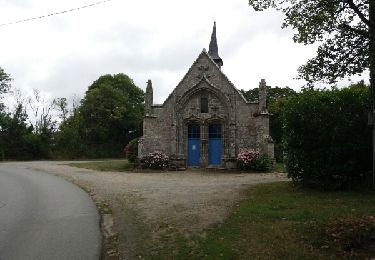
9.9 km | 11.2 km-effort
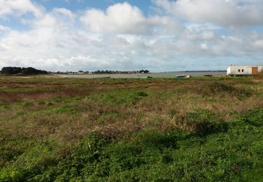
tour de l'étang de penmur
Pierre-yves Leclerc
User
Length
10.6 km
Max alt
38 m
Uphill gradient
145 m
Km-Effort
12.5 km
Min alt
6 m
Downhill gradient
143 m
Boucle
Yes
Creation date :
2024-11-20 08:11:08.136
Updated on :
2024-11-20 11:17:32.54
3h06
Difficulty : Easy
FREE GPS app for hiking
About
Trail Walking of 10.6 km to be discovered at Brittany, Morbihan, Muzillac. This trail is proposed by Pierre-yves Leclerc.
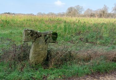
Positioning
Country:
France
Region :
Brittany
Department/Province :
Morbihan
Municipality :
Muzillac
Location:
Unknown
Start:(Dec)
Start:(UTM)
537670 ; 5269995 (30T) N.
Comments
Trails nearby
PR_56_Lauzach_AA_01_Circuit1b_Boucles-Du-Guernec_20240210
Walking
Medium
Lauzach,
Brittany,
Morbihan,
France
2h 32min
Yes
boucle Ambon Penerf Keroyal
Electric bike
Very easy
(1)
Ambon,
Brittany,
Morbihan,
France
26 km | 28 km-effort
2h 16min
Yes
Muzillac: Circuit des Chouans (officiel)
Walking
Easy
Muzillac,
Brittany,
Morbihan,
France
7.8 km | 9.3 km-effort
2h 1min
Yes
Rc-56_Muzillac-01_Bourg-Paul_Moulin-Pen_Mur_20200126
Walking
Very easy
Muzillac,
Brittany,
Morbihan,
France
9.5 km | 11.2 km-effort
2h 35min
Yes
Le circuit de Trémondet - Noyal-Muzillac
Walking
Medium
(1)
Noyal-Muzillac,
Brittany,
Morbihan,
France
11.7 km | 14.2 km-effort
3h 0min
Yes
182 le tour de l'étang de Penmur
Walking
Easy
Muzillac,
Brittany,
Morbihan,
France
12.4 km | 14.7 km-effort
3h 12min
Yes
les trois rivières noyal muzillac
Walking
Easy
Noyal-Muzillac,
Brittany,
Morbihan,
France
10 km | 11.7 km-effort
3h 0min
Yes