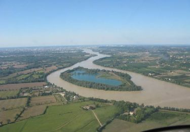
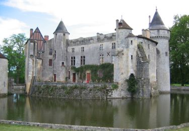
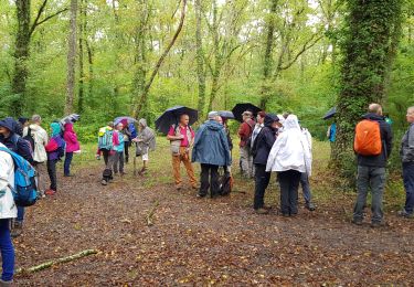
Trail Walking Ayguemorte-les-Graves - AYGUEMORTE -  LES- GRAVES APRES RECO - Photo

AYGUEMORTE - LES- GRAVES APRES RECO

 Beric
Beric

User

© OpenStreetMap contributors
Length
Length
12.2 km
Max alt
Max alt
28 m
Uphill gradient
Uphill gradient
105 m
Km-Effort
Km-Effort  
13.6 km
Min alt
Min alt
0 m
Downhill gradient
Downhill gradient
106 m
Boucle
Boucle
Yes
Creation date :
2024-11-18 09:05:45.704
Updated on :
2024-11-28 16:28:47.719

(0 Reviews)

Walking
Walking
3h05
Difficulty : Difficult

Scan this QR Code to open this trail in the SityTrail application

FREE GPS app for hiking

Logo SityTrail SityTrail

IGN / Geographical institutes

Download SityTrail from the App Store Download SityTrail from Google Play

Logo SityTrail SityTrail World

The world is yours!

Download SityTrail from the App Store Download SityTrail from Google Play Download SityTrail on Huawei AppGallery

About

Trail Walking of 12.2 km to be discovered at New Aquitaine, Gironde, Ayguemorte-les-Graves. This trail is proposed by Beric.

Description

12 Km
14Km effort
IBP: 31
Dev   : 23 m
Alt max: 28 m

Elevation profile

Points of interest

Point of interest Ayguemorte-les-Graves - Ancien Moulin de L'Aprée - Photo
Beric
AYGUEMORTE-LES-GRAVES 
Point of interest Isle-Saint-Georges - PORT / EGLISE - Photo
Beric
ISLE-SAINT-GEORGES 
Point of interest Ayguemorte-les-Graves - TRAVERSE PONT - Photo
Beric
AYGUEMORTE-LES-GRAVES 
Point of interest Isle-Saint-Georges - PASSAGE INTERDIT - Photo
Beric
ISLE-SAINT-GEORGES 
Point of interest Isle-Saint-Georges - VOIE  PRIVEE. Interdit - Photo
Beric
ISLE-SAINT-GEORGES 
Point of interest Isle-Saint-Georges - ACCES A RABEY. AUCUN INTERET - Photo
Beric
ISLE-SAINT-GEORGES 
Point of interest Isle-Saint-Georges - VILLA VERDELET - Photo
Beric
ISLE-SAINT-GEORGES 

Positioning

Country:
France
Region :
New Aquitaine
Department/Province :
Gironde
Municipality :
Ayguemorte-les-Graves
Location:
Unknown
Start:(UTM)
700587 ; 4953954 (30T) N.

Trails nearby

Trail Walking Cadaujac - Circuit de Cadaujac - Photo
Walking
tracegps

Walking

Easy
(3)
Cadaujac, New Aquitaine, Gironde, France
4.2 km | 4.5 km-effort
1h 0min
No
Trail Mountain bike Saint-Caprais-de-Bordeaux - St Caprais - Madirac - Photo
Mountain bike
FranckBag

Mountain bike

Medium
(1)
Saint-Caprais-de-Bordeaux, New Aquitaine, Gironde, France
33 km | 42 km-effort
2h 43min
Yes
Trail Walking La Brède - Circuit vert de La Brède - Photo
Walking
tracegps

Walking

Difficult
(1)
La Brède, New Aquitaine, Gironde, France
11.9 km | 13.3 km-effort
3h 0min
Yes
Trail Cycle La Brède - Balade sur les pas de Montesquieu dans la baronnie de La Brède - Photo
Cycle
tracegps

Cycle

Medium
(1)
La Brède, New Aquitaine, Gironde, France
44 km | 50 km-effort
2h 30min
Yes
Trail Walking Ayguemorte-les-Graves - Sentier d'Ayguemorte les Graves - Photo
Walking
tracegps

Walking

Easy
Ayguemorte-les-Graves, New Aquitaine, Gironde, France
4.2 km | 4.5 km-effort
1h 4min
Yes
Trail Walking Saint-Médard-d'Eyrans - Sentier de Saint Médard d'Eyrans - Photo
Walking
tracegps

Walking

Easy
(1)
Saint-Médard-d'Eyrans, New Aquitaine, Gironde, France
5.2 km | 5.6 km-effort
1h 25min
Yes
Trail Walking La Brède - La Brede - Photo
Walking
domheitz

Walking

Easy
La Brède, New Aquitaine, Gironde, France
12.7 km | 14 km-effort
3h 45min
Yes
Trail Walking Isle-Saint-Georges - Sentier d'Isle Saint Georges - Photo
Walking
tracegps

Walking

Easy
Isle-Saint-Georges, New Aquitaine, Gironde, France
3.4 km | 3.6 km-effort
49min
Yes
Trail Walking Ayguemorte-les-Graves - C21.02  Ayguemorte les graves  ouest - Photo
Walking
bedous

Walking

Easy
Ayguemorte-les-Graves, New Aquitaine, Gironde, France
7.7 km | 8.5 km-effort
2h 8min
Yes


Close
My subscriptions