


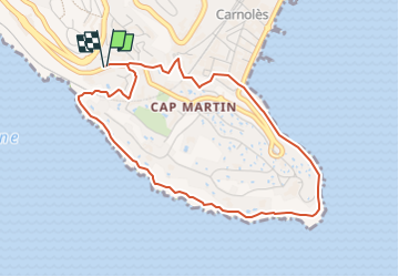

4.4 km | 5.9 km-effort


User


FREE GPS app for hiking
 SityTrail
IGN / Geographical institutes
SityTrail World
The world is yours!
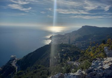
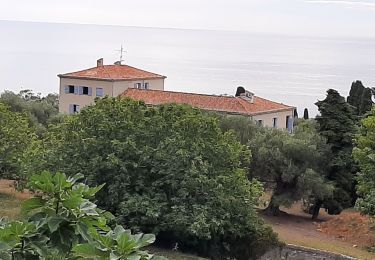
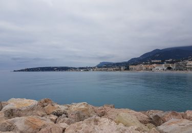
Trail On foot of 4.7 km to be discovered at Provence-Alpes-Côte d'Azur, Maritime Alps, Roquebrune-Cap-Martin. This trail is proposed by Alain Derrives.
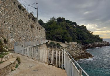
sentier le Corbusier et des douanier en allé retour a partir
de la pointe vieille ou de 27 Avenue Paul Doumer, 06190 Roquebrune-Cap-Martin

Walking
Walking


Walking
Walking

Walking
Walking
Walking
Walking