


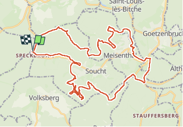

13.1 km | 17.5 km-effort

User GUIDE


FREE GPS app for hiking
 SityTrail
IGN / Geographical institutes
SityTrail World
The world is yours!
Trail Horseback riding of 28 km to be discovered at Grand Est, Moselle, Soucht. This trail is proposed by holtzv.
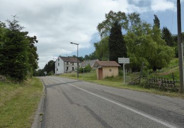
Week-end CVA à Soucht (57) : Jour 1 sur 3
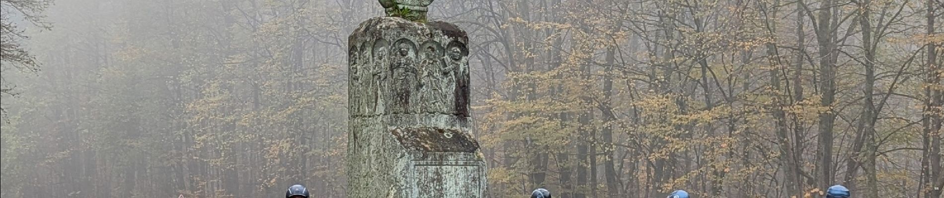
Journée autour de Soucht en passant par le rocher Stratzelfelsen, les 3 rochers Dreipeterstein, la Pierre des Douze Apôtres, l’abri Kuppeheisel, le chemin de vierges vers la chapelle Paulus.


Walking
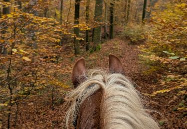
Horseback riding
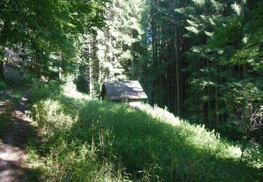
On foot
On foot
On foot

On foot