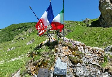
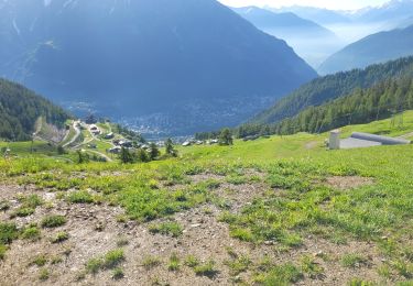
17.9 km | 27 km-effort
GR Tour du Mont-Blanc (sans variante)
Julie LABBE
User
Length
31 km
Max alt
2426 m
Uphill gradient
1992 m
Km-Effort
57 km
Min alt
1173 m
Downhill gradient
1907 m
Boucle
No
Creation date :
2024-11-11 13:04:35.088
Updated on :
2025-01-03 12:38:22.44
12h58
Difficulty : Very difficult
FREE GPS app for hiking
About
Trail On foot of 31 km to be discovered at Aosta Valley, Unknown, Courmayeur. This trail is proposed by Julie LABBE.
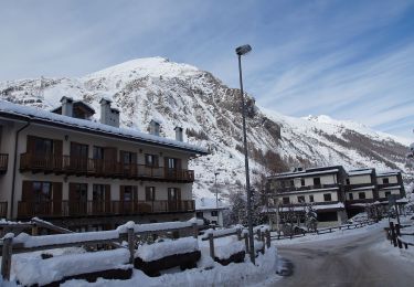
Points of interest
Positioning
Country:
Italy
Region :
Aosta Valley
Department/Province :
Unknown
Municipality :
Courmayeur
Location:
Unknown
Start:(Dec)
Start:(UTM)
334301 ; 5071252 (32T) N.
Comments
Trails nearby
Alta Via n. 2 della Valle d'Aosta - Tappa 2
On foot
Medium
Courmayeur,
Aosta Valley,
Unknown,
Italy
6h 10min
No
(SI F07) Rifugio Elisabetta - Courmayeur
On foot
Medium
Courmayeur,
Aosta Valley,
Unknown,
Italy
14.9 km | 25 km-effort
5h 39min
No
Mont Fortin
On foot
Difficult
Courmayeur,
Aosta Valley,
Unknown,
Italy
17.9 km | 32 km-effort
7h 19min
Yes
étape monte Bianco mottets
Walking
Difficult
Courmayeur,
Aosta Valley,
Unknown,
Italy
21 km | 38 km-effort
8h 17min
No
TMB J5 Ref. BIANCO - LES MOTTETS
Walking
Difficult
Courmayeur,
Aosta Valley,
Unknown,
Italy
20 km | 38 km-effort
7h 49min
No
TMB Étape 3 : Refuge Elisabetha Soldini au Camping des Grandes Jorasses par l...
Walking
Very difficult
Courmayeur,
Aosta Valley,
Unknown,
Italy
21 km | 35 km-effort
7h 58min
No
tmb2024 étape 4
Walking
Difficult
Courmayeur,
Aosta Valley,
Unknown,
Italy
17.8 km | 33 km-effort
6h 56min
No
TMB 04 - Refuge Elisabetta -> Courmayeur
Walking
Difficult
Courmayeur,
Aosta Valley,
Unknown,
Italy
17.6 km | 28 km-effort
7h 45min
No