


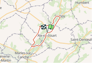

9.1 km | 11 km-effort


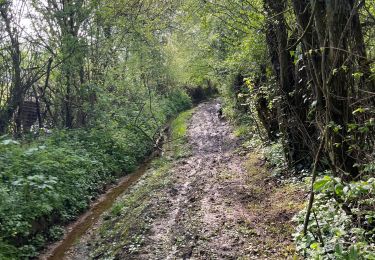
En pleine nature


FREE GPS app for hiking
 SityTrail
IGN / Geographical institutes
SityTrail World
The world is yours!
Trail Mountain bike of 9.5 km to be discovered at Hauts-de-France, Pas-de-Calais, Aix-en-Issart. This trail is proposed by Sportiva France.
Petite balade dans les plaines d'Aix-en-Issart.
La commune est traversée par le Bras de Bronne, un cours d'eau naturel non navigable de 10,83 km qui prend sa source dans la commune de Saint-Michel-sous-Bois et se jette dans La Canche au niveau de la commune de Brimeux.


Walking

Walking
Walking

Mountain bike

Nordic walking