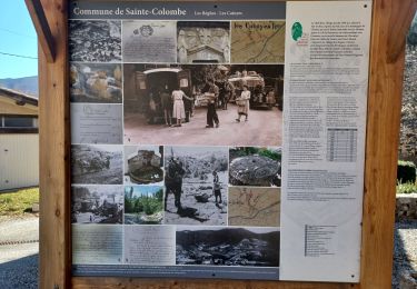
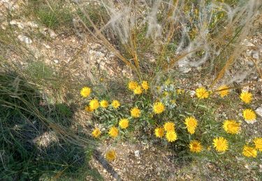
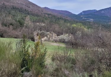
Trail Bicycle tourism Orpierre - 101124 Tour de la Méouge - Photo
© OpenStreetMap contributors
Length
Length
70 km
Max alt
Max alt
1219 m
Uphill gradient
Uphill gradient
1205 m
Km-Effort
Km-Effort  
86 km
Min alt
Min alt
539 m
Downhill gradient
Downhill gradient
1208 m
Boucle
Boucle
Yes
Creation date :
2024-11-10 09:51:56.119
Updated on :
2024-11-10 16:37:26.501

(0 Reviews)

Bicycle tourism
Bicycle tourism
6h12
Difficulty : Medium

Scan this QR Code to open this trail in the SityTrail application

FREE GPS app for hiking

Logo SityTrail SityTrail

IGN / Geographical institutes

Download SityTrail from the App Store Download SityTrail from Google Play

Logo SityTrail SityTrail World

The world is yours!

Download SityTrail from the App Store Download SityTrail from Google Play Download SityTrail on Huawei AppGallery

About

Trail Bicycle tourism of 70 km to be discovered at Provence-Alpes-Côte d'Azur, Hautes-Alpes, Orpierre. This trail is proposed by mzonzon05.

Description

Magnifique tour de vélo à faire hors saison. Ici à l'automne la montée du col Saint Jean est facile et solitaire avec de jolis points de vue sur le Dévoluy, le détour par Izon la Bruisse est splendide avec ses crêtes et ses pitons rocheux. Calme et majestueux.
La descente de la Méouge est évidemment divine, surtout sans la foule estivale ! Quoi que nous n'étions pas seuls aux points de vue classiques !
Enfin la route de Saléon est calme et ondulée, parfaite pour finir de nous achever ! Nous avons eu la chance de revenir sur Orpierre avec les derniers rayons du soleil malgré notre départ honteusement tardif !
Bref, à faire ou refaire en se laissant envoûter.

Elevation profile

Positioning

Country:
France
Region :
Provence-Alpes-Côte d'Azur
Department/Province :
Hautes-Alpes
Municipality :
Orpierre
Location:
Unknown
Start:(UTM)
713407 ; 4910219 (31T) N.

Trails nearby

Trail Walking Sainte-Colombe - st colombe la
Walking
margotte

Walking

Medium
Sainte-Colombe, Provence-Alpes-Côte d'Azur, Hautes-Alpes, France
11.6 km | 17.9 km-effort
3h 4min
Yes
Trail Walking Orpierre - rocher st Michel - Photo
Walking
margotte

Walking

Medium
Orpierre, Provence-Alpes-Côte d'Azur, Hautes-Alpes, France
9 km | 16 km-effort
3h 41min
Yes
Trail Walking Sainte-Colombe - ORPIERRES . DEPART CHEVALET . BEYNAVES . MONTAGNE SAINT MICHEL . AR   N - Photo
Walking
RobinMicheline

Walking

Difficult
Sainte-Colombe, Provence-Alpes-Côte d'Azur, Hautes-Alpes, France
10.1 km | 15.2 km-effort
2h 50min
Yes
Trail Walking Sainte-Colombe - catoyes  - Photo
Walking
céline BORLOZ

Walking

Very difficult
Sainte-Colombe, Provence-Alpes-Côte d'Azur, Hautes-Alpes, France
17 km | 27 km-effort
6h 26min
Yes
Trail Walking Sainte-Colombe - 100423 Plan de Cuques - Photo
Walking
mzonzon05

Walking

Difficult
Sainte-Colombe, Provence-Alpes-Côte d'Azur, Hautes-Alpes, France
11.7 km | 17.4 km-effort
3h 12min
No
Trail Walking Orpierre - 220822 La Louze - Photo
Walking
mzonzon05

Walking

Very difficult
Orpierre, Provence-Alpes-Côte d'Azur, Hautes-Alpes, France
12.5 km | 19.4 km-effort
2h 42min
Yes
Trail Walking Sainte-Colombe - SAINTE COLOMBE , les Bègues,  autour des versants du Céans o l - Photo
Walking
RobinMicheline

Walking

Medium
Sainte-Colombe, Provence-Alpes-Côte d'Azur, Hautes-Alpes, France
11.3 km | 17.3 km-effort
3h 9min
Yes
Trail Walking Trescléoux - Le Suillet via Le Rocher Pointu au Départ de Trescléoux - Photo
Walking
PapouBertrand

Walking

Very difficult
Trescléoux, Provence-Alpes-Côte d'Azur, Hautes-Alpes, France
13.2 km | 25 km-effort
6h 20min
Yes
Trail Walking Sainte-Colombe - SAINTE COLOMBE . 05 . Pas de Sainte  Colombe o m s - Photo
Walking
RobinMicheline

Walking

Medium
Sainte-Colombe, Provence-Alpes-Côte d'Azur, Hautes-Alpes, France
8 km | 13.3 km-effort
2h 56min
Yes


Close
My subscriptions