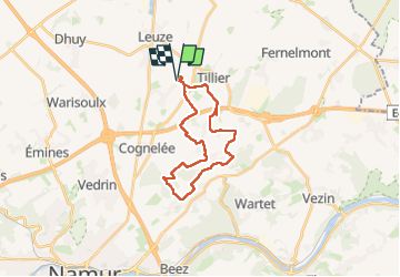

12.9 km | 15.8 km-effort


User


FREE GPS app for hiking
 SityTrail
IGN / Geographical institutes
SityTrail World
The world is yours!
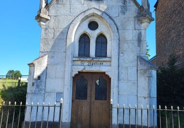
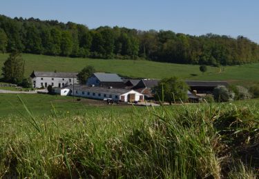
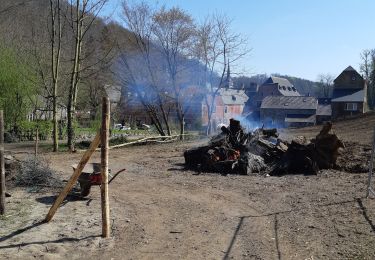
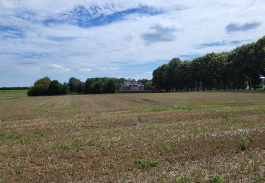
Trail Walking of 21 km to be discovered at Wallonia, Namur, Éghezée. This trail is proposed by jeangulu.
Organisateur : NA 064 - LES MOLLETS BUCOLIQUES _ EGHEZEE
Responsable calendrier du club : LAMIROY JEAN-MARIE :.
NA064@ffbmp.be
0486/334317.
Point de départ : Salle " Les Bouyards"
Place de Waret 85
5310 - WARET - LA - CHAUSSEE

Walking
Walking

Walking
Walking

Walking


Cycle
Walking