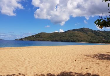
6.1 km | 9.4 km-effort
co
Igua
User
Length
1.4 km
Max alt
16 m
Uphill gradient
19 m
Km-Effort
1.6 km
Min alt
2 m
Downhill gradient
15 m
Boucle
No
Creation date :
2024-11-09 19:00:39.304
Updated on :
2024-11-09 20:05:43.893
1h04
Difficulty : Very easy
FREE GPS app for hiking
About
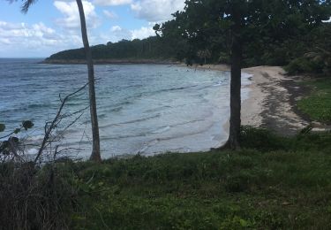
Trail Trail of 1.4 km to be discovered at Guadeloupe, Unknown, Deshaies. This trail is proposed by Igua.
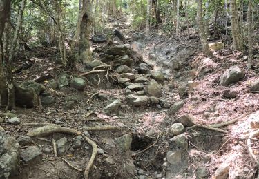
Positioning
Country:
France
Region :
Guadeloupe
Department/Province :
Unknown
Municipality :
Deshaies
Location:
Unknown
Start:(Dec)
Start:(UTM)
629088 ; 1804235 (20Q) N.
Comments
Trails nearby
SityTrail - 2167666 - tillet---les-amandiers (1)
Walking
Very easy
Deshaies,
Guadeloupe,
Unknown,
France
7 km | 8.5 km-effort
Unknown
No
Co plage Fré Cluny
Trail
Medium
Sainte-Rose,
Guadeloupe,
Unknown,
France
4.7 km | 5.3 km-effort
52min
Yes
Reco morne fort royal
Trail
Medium
Deshaies,
Guadeloupe,
Unknown,
France
1.8 km | 3 km-effort
1h 36min
Yes
site du boing
Walking
Very difficult
Deshaies,
Guadeloupe,
Unknown,
France
15.1 km | 22 km-effort
10h 56min
No
Deshaies _ Sentier côtier
Walking
Easy
Deshaies,
Guadeloupe,
Unknown,
France
10.8 km | 17.2 km-effort
3h 50min
Yes
du Morne Mazeau jusqu'à la plage de Cluny (littoral)
Walking
Very difficult
Deshaies,
Guadeloupe,
Unknown,
France
15.4 km | 20 km-effort
4h 35min
No