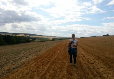
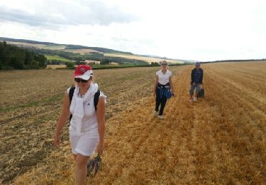
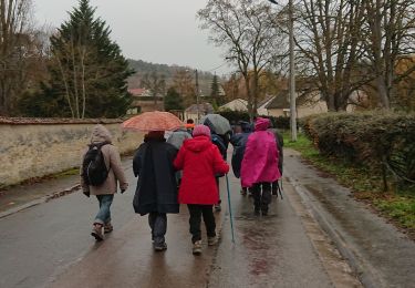
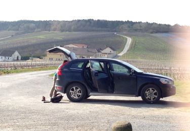
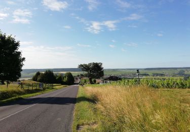
Trail  Germigny - Autour de Germigny - Photo

Autour de Germigny

© OpenStreetMap contributors
Length
Length
10.3 km
Max alt
Max alt
208 m
Uphill gradient
Uphill gradient
182 m
Km-Effort
Km-Effort  
12.8 km
Min alt
Min alt
102 m
Downhill gradient
Downhill gradient
183 m
Boucle
Boucle
Yes
Creation date :
2024-11-08 08:51:09.277
Updated on :
2024-11-08 08:52:02.224

(0 Reviews)


Scan this QR Code to open this trail in the SityTrail application

FREE GPS app for hiking

Logo SityTrail SityTrail

IGN / Geographical institutes

Download SityTrail from the App Store Download SityTrail from Google Play

Logo SityTrail SityTrail World

The world is yours!

Download SityTrail from the App Store Download SityTrail from Google Play Download SityTrail on Huawei AppGallery

About

Trail of 10.3 km to be discovered at Grand Est, Marne, Germigny. This trail is proposed by quatre sans cinq.

Elevation profile

Points of interest

Point of interest Germigny - Parking 4 Rue de la Montagne. Mairie - Photo
quatre sans cinq
Point of interest Germigny - Bifurcation avant le parking - Photo
quatre sans cinq
Point of interest Germigny - Bifurcation, dans le bois  - Photo
quatre sans cinq
Point of interest Germigny - Bifurcation, Chemin des Vignes - Photo
quatre sans cinq
Point of interest Janvry - Petit pont - Photo
quatre sans cinq
JANVRY 
Point of interest Germigny - Traversée de la route - Photo
quatre sans cinq
Point of interest Germigny - Point pique-nique au noyer - Photo
quatre sans cinq
Point of interest Germigny - Point de vue - Photo
quatre sans cinq
GERMIGNY 
Point of interest Germigny - Bifurcation - Photo
quatre sans cinq
GERMIGNY 
Point of interest Germigny - Route - Photo
quatre sans cinq
GERMIGNY 
Point of interest Janvry - Bifurcation, chemin entre grillage et vignes - Photo
quatre sans cinq
Point of interest Germigny - Bifurcation avant le hangar - Photo
quatre sans cinq
Point of interest Germigny - Parking 4 Rue de la Montagne. Mairie - Photo
quatre sans cinq

Positioning

Country:
France
Region :
Grand Est
Department/Province :
Marne
Municipality :
Germigny
Location:
Unknown
Start:(UTM)
563093 ; 5455102 (31U) N.

Trails nearby

Trail Walking Pargny-lès-Reims - Balade Picnic Euphraise - Chapelle saint Lié - Photo
Walking
mousetik

Walking

Easy
(1)
Pargny-lès-Reims, Grand Est, Marne, France
9.2 km | 11.1 km-effort
3h 13min
Yes
Trail Walking Pargny-lès-Reims - Balade Picnic Euphraise - Chapelle saint Lié - Photo
Walking
mousetik

Walking

Easy
Pargny-lès-Reims, Grand Est, Marne, France
9.2 km | 11.1 km-effort
3h 13min
Yes
Trail Walking Branscourt - 2019_12_1 BRANSCOURT - Photo
Walking
remi.servel

Walking

Very easy
Branscourt, Grand Est, Marne, France
8.6 km | 11.2 km-effort
2h 39min
No
Trail Walking Ville-Dommange - saint lié La Chapelle - Photo
Walking
doclocjl

Walking

Very easy
(1)
Ville-Dommange, Grand Est, Marne, France
9.5 km | 11.7 km-effort
3h 19min
Yes
Trail Walking Pargny-lès-Reims - 2024_09_29 Pargny PLEINE NATURE - Photo
Walking
remi.servel

Walking

Medium
Pargny-lès-Reims, Grand Est, Marne, France
8.7 km | 10.9 km-effort
2h 47min
Yes
Trail Walking Ville-Dommange - Villedo - Photo
Walking
Maud Deharbe

Walking

Medium
Ville-Dommange, Grand Est, Marne, France
6.7 km | 8.6 km-effort
2h 34min
Yes
Trail Road bike Germigny - Haut villers 4 - Photo
Road bike
CHEVILLION

Road bike

Medium
Germigny, Grand Est, Marne, France
66 km | 77 km-effort
3h 55min
Yes
Trail Walking Châlons-sur-Vesle - Merfi Chenay  - Photo
Walking
DENISSUPLY

Walking

Easy
Châlons-sur-Vesle, Grand Est, Marne, France
9 km | 11.2 km-effort
3h 32min
Yes
Trail Walking Rosnay - Rjjg - Photo
Walking
DENISSUPLY

Walking

Difficult
Rosnay, Grand Est, Marne, France
12.6 km | 15.5 km-effort
3h 33min
Yes


Close
My subscriptions