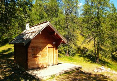
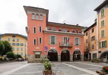
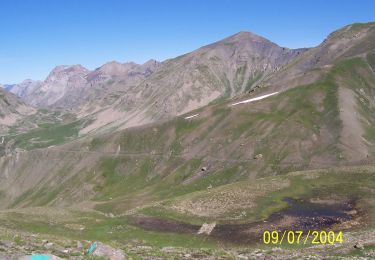
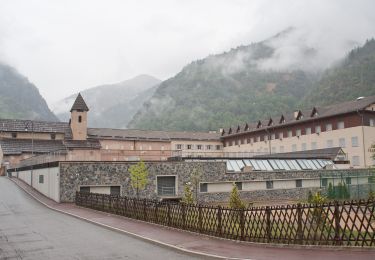
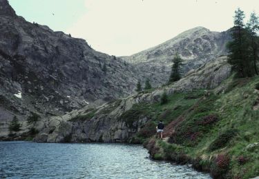
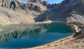
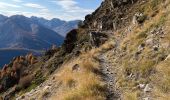
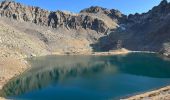
Trail Walking Saint-Étienne-de-Tinée - Lacs Marie - Photo
 bozo1970
bozo1970

User

© OpenStreetMap contributors
Length
Length
13.2 km
Max alt
Max alt
2527 m
Uphill gradient
Uphill gradient
1380 m
Km-Effort
Km-Effort  
32 km
Min alt
Min alt
1251 m
Downhill gradient
Downhill gradient
1380 m
Boucle
Boucle
Yes
Creation date :
2024-11-07 08:27:16.0
Updated on :
2024-11-07 19:32:11.339

(0 Reviews)

Walking
Walking
5h44
Difficulty : Very difficult

Scan this QR Code to open this trail in the SityTrail application

FREE GPS app for hiking

Logo SityTrail SityTrail
IGN / Geographical institutes

Download SityTrail from the App Store Download SityTrail from Google Play

Logo SityTrail SityTrail World
The world is yours!

Download SityTrail from the App Store Download SityTrail from Google Play Download SityTrail on Huawei AppGallery

About

Trail Walking of 13.2 km to be discovered at Provence-Alpes-Côte d'Azur, Maritime Alps, Saint-Étienne-de-Tinée. This trail is proposed by bozo1970.

Description

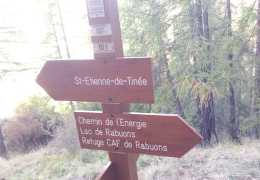
Départ de l’Alberia balise 117
Balise 116 en 40’ D 400 et 1km600
Balise 115 en 1h13’ D 629 et 2km500
Balise 113 en 2h20’ D 1068 et 4km550
Attaque du chemin de l’énergie
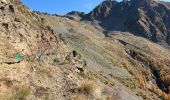
Montée plein est dans le vallon du déversoir des lacs
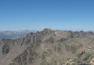
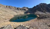
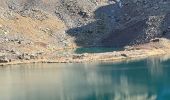
Lacs en 3h22’ D 1314 et 6km666
Quelques chamois
Retour en 20’ sur le chemin de l’énergie
Balise 113 en 45’
A/R en 5h44’ D 1359 et 13km400
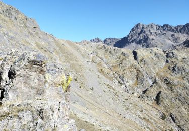
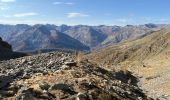
Montée très raide mais assez bien marquée
Retour moins visible et descente très phy

Elevation profile

Photos

Positioning

Country:
France
Region :
Provence-Alpes-Côte d'Azur
Department/Province :
Maritime Alps
Municipality :
Saint-Étienne-de-Tinée
Location:
Unknown
Start:(Dec)
Start:(UTM)
333577 ; 4904506 (32T) N.

Trails nearby

Trail Walking Saint-Étienne-de-Tinée - MERCANTOUR - Lac de rabuons - Photo
Walking
Atchoum26

Walking

Very difficult
(1)
Saint-Étienne-de-Tinée, Provence-Alpes-Côte d'Azur, Maritime Alps, France
19.5 km | 40 km-effort
9h 9min
No
Trail Walking Saint-Étienne-de-Tinée - Mont Ténibre en boucle depuis Saint Etienne de Tinée - Photo
Walking
tracegps

Walking

Very difficult
(4)
Saint-Étienne-de-Tinée, Provence-Alpes-Côte d'Azur, Maritime Alps, France
18 km | 45 km-effort
10h 0min
Yes
Trail Walking Saint-Étienne-de-Tinée - Lacs de Rabuons et Chaffour  - Photo
Walking
GUIDE
nadd73

Walking

Difficult
Saint-Étienne-de-Tinée, Provence-Alpes-Côte d'Azur, Maritime Alps, France
22 km | 46 km-effort
7h 4min
Yes
Trail On foot Saint-Étienne-de-Tinée - Circuit du Bois d'Anelle - Photo
On foot
GUIDE+

On foot

Medium
Saint-Étienne-de-Tinée, Provence-Alpes-Côte d'Azur, Maritime Alps, France
11.3 km | 21 km-effort
4h 40min
Yes
Trail On foot Saint-Étienne-de-Tinée - Circuit de Selasse - Photo
On foot
GUIDE+

On foot

Easy
Saint-Étienne-de-Tinée, Provence-Alpes-Côte d'Azur, Maritime Alps, France
6.3 km | 15.1 km-effort
3h 25min
Yes
Trail On foot Saint-Dalmas-le-Selvage - Crête de la Blanche - Photo
On foot
GUIDE+

On foot

Medium
Saint-Dalmas-le-Selvage, Provence-Alpes-Côte d'Azur, Maritime Alps, France
12 km | 20 km-effort
4h 33min
Yes
Trail On foot Saint-Étienne-de-Tinée - Chemin de l'Energie - Photo
On foot
GUIDE+

On foot

Very difficult
Saint-Étienne-de-Tinée, Provence-Alpes-Côte d'Azur, Maritime Alps, France
30 km | 55 km-effort
12h 34min
No
Trail On foot Saint-Étienne-de-Tinée - Chemin de l'Energie - Etape 1 - Photo
On foot
GUIDE+

On foot

Easy
Saint-Étienne-de-Tinée, Provence-Alpes-Côte d'Azur, Maritime Alps, France
7.4 km | 16.4 km-effort
3h 44min
No
Trail On foot Saint-Étienne-de-Tinée - Chemin de l'Energie - Etape 2 - Photo
On foot
GUIDE+

On foot

Medium
Saint-Étienne-de-Tinée, Provence-Alpes-Côte d'Azur, Maritime Alps, France
13.8 km | 24 km-effort
5h 33min
No


Close
My subscriptions