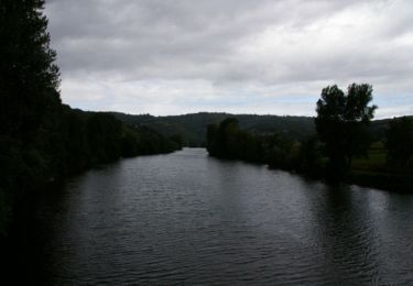
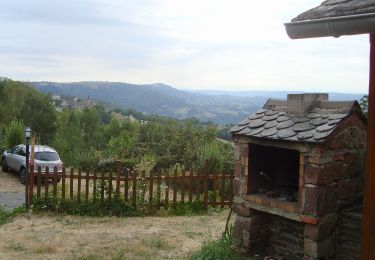
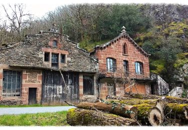
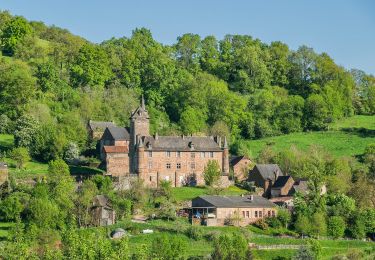
Trail Walking Conques-en-Rouergue - GR62 le 3 11 2024 st Cyprien sur Dourdou  Conques - Photo

GR62 le 3 11 2024 st Cyprien sur Dourdou Conques

© OpenStreetMap contributors
Length
Length
22 km
Max alt
Max alt
647 m
Uphill gradient
Uphill gradient
820 m
Km-Effort
Km-Effort  
33 km
Min alt
Min alt
234 m
Downhill gradient
Downhill gradient
821 m
Boucle
Boucle
Yes
Creation date :
2024-11-03 09:20:56.157
Updated on :
2024-11-23 17:18:10.23

(0 Reviews)

Walking
Walking
5h39
Difficulty : Medium

Scan this QR Code to open this trail in the SityTrail application

FREE GPS app for hiking

Logo SityTrail SityTrail

IGN / Geographical institutes

Download SityTrail from the App Store Download SityTrail from Google Play

Logo SityTrail SityTrail World

The world is yours!

Download SityTrail from the App Store Download SityTrail from Google Play Download SityTrail on Huawei AppGallery

About

Trail Walking of 22 km to be discovered at Occitania, Aveyron, Conques-en-Rouergue. This trail is proposed by chantal12.

Description

Départ de la salle des fêtes de St Cyprien sur Dourdou, suivre le balisage du GR 62 jusqu'à Conques.
Pour le retour revenir sur ses pas jusqu'au hameau "Montignac" puis suivre le PR " le sentier du Bancarel" à l'envers jusqu'au Moulin de Sanhes.
Traverser la D901, le pont qui enjambe le Dourdou, puis à gauche suivre la route peu fréquentée pour rejoindre St Cyprien sur Dourdou.

Elevation profile

Positioning

Country:
France
Region :
Occitania
Department/Province :
Aveyron
Municipality :
Conques-en-Rouergue
Location:
Saint-Cyprien-sur-Dourdou
Start:(UTM)
453039 ; 4932730 (31T) N.

Trails nearby

Trail Walking Conques-en-Rouergue - Noailhac - Livinhac le Haut - Chemin de St-Jacques de Compostelle - Photo
Walking
tracegps

Walking

Difficult
(1)
Conques-en-Rouergue, Occitania, Aveyron, France
16.8 km | 23 km-effort
3h 0min
No
Trail On foot Conques-en-Rouergue - Terra Trail 4 - Photo
On foot
GUIDE+

On foot

Easy
Conques-en-Rouergue, Occitania, Aveyron, France
10.3 km | 16 km-effort
3h 38min
Yes
Trail On foot Conques-en-Rouergue - Terra Trail 13 - Photo
On foot
GUIDE+

On foot

Medium
Conques-en-Rouergue, Occitania, Aveyron, France
18 km | 27 km-effort
6h 11min
Yes
Trail On foot Conques-en-Rouergue - Le Chemin de l'Oiseau - Photo
On foot
GUIDE+

On foot

Easy
Conques-en-Rouergue, Occitania, Aveyron, France
5 km | 7.9 km-effort
1h 47min
Yes
Trail On foot Conques-en-Rouergue - Le Sentier de Saint-Roch - Photo
On foot
GUIDE+

On foot

Easy
Conques-en-Rouergue, Occitania, Aveyron, France
7.5 km | 11.3 km-effort
2h 33min
No
Trail On foot Conques-en-Rouergue - Le Sentier du Rebouscou - Photo
On foot
GUIDE+

On foot

Easy
Conques-en-Rouergue, Occitania, Aveyron, France
9.2 km | 13.7 km-effort
3h 6min
Yes
Trail On foot Conques-en-Rouergue - Le Sentier des Croix - Photo
On foot
GUIDE+

On foot

Easy
Conques-en-Rouergue, Occitania, Aveyron, France
5.4 km | 9.5 km-effort
2h 9min
No
Trail On foot Conques-en-Rouergue - Sentier du Bancarel - Photo
On foot
GUIDE+

On foot

Easy
Conques-en-Rouergue, Occitania, Aveyron, France
6.5 km | 9.8 km-effort
2h 13min
No
Trail On foot Nauviale - chemin Gare de Saint-Christophe - Conques - Photo
On foot
GUIDE+

On foot

Easy
Nauviale, Occitania, Aveyron, France
6.9 km | 8 km-effort
1h 48min
No


Close
My subscriptions