


20 km | 25 km-effort


User GUIDE


FREE GPS app for hiking
 SityTrail
IGN / Geographical institutes
SityTrail World
The world is yours!
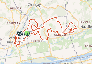
Trail Walking of 27 km to be discovered at Centre-Loire Valley, Indre-et-Loire, Vernou-sur-Brenne. This trail is proposed by Orcal37.
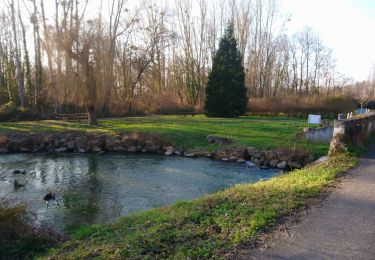
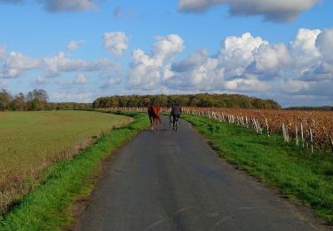
Vernou-sur-Brenne la Coudraie - Zig Zag - Vaubrault (Nazelles-Négron) - Noizay - 27.1km 385m 5h55 (55mn) - 2024 11 03
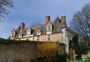
 - 2024 11 03 - Photo 1")
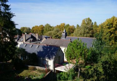
 - 2024 11 03 - Photo 2")
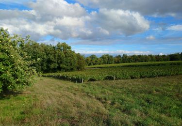
 - 2024 11 03 - Photo 3")
 - 2024 11 03 - Photo 4")
 - 2024 11 03 - Photo 5")
 - 2024 11 03 - Photo 6")
 - 2024 11 03 - Photo 7")
 - 2024 11 03 - Photo 8")
 - 2024 11 03 - Photo 9")
 - 2024 11 03 - Photo 10")
 - 2024 11 03 - Photo 11")
 - 2024 11 03 - Photo 12")
 - 2024 11 03 - Photo 13")

Walking
Walking
Walking
Walking

Walking

Bicycle tourism
Walking
Walking

Walking