


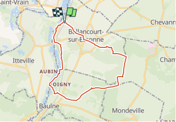

16 km | 17.9 km-effort

User GUIDE


FREE GPS app for hiking
 SityTrail
IGN / Geographical institutes
SityTrail World
The world is yours!
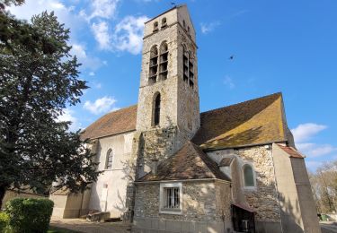
Trail Walking of 14.8 km to be discovered at Ile-de-France, Essonne, Ballancourt-sur-Essonne. This trail is proposed by jeanmarcMasson.
Départ de la gare de Ballancourt
Pique-Nique dans cabane de chasseurs à 7,5 km
Passage auprès des Roches du Père la Musique à environ 12 km


Walking

Walking
On foot
Walking

Walking

On foot
On foot
On foot

On foot