


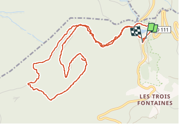


10.1 km | 16.5 km-effort

User


FREE GPS app for hiking
 SityTrail
IGN / Geographical institutes
SityTrail World
The world is yours!
Trail Walking of 7.3 km to be discovered at Auvergne-Rhône-Alpes, Isère, Séchilienne. This trail is proposed by crocau.
Balade créée par Éric Merlen dans 52 balades autour de Grenoble. C'est une balade facile que l'on peut faire avec des enfants. Pour trouver le pic de l'oeilly il faut bien repérer un cairn juste avant d'arriver. La meilleure saison est à mon avis le printemps pour découvrir une variété de fleurs rares ici.


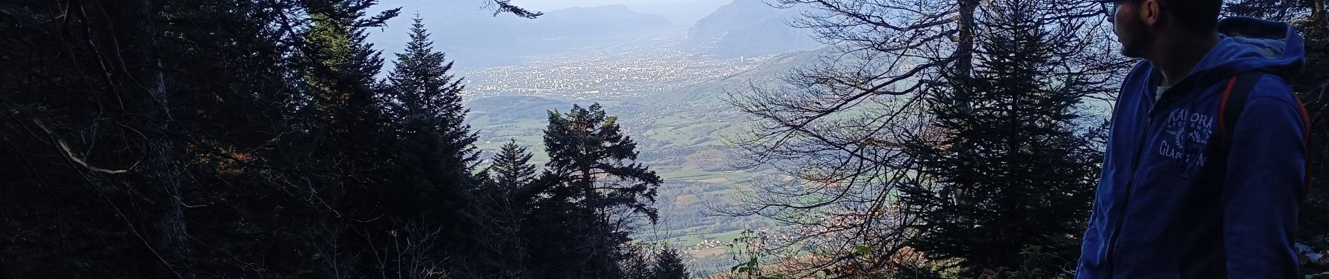
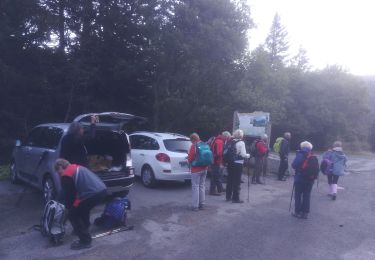
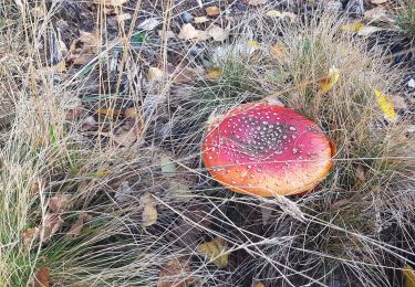
23 photos in total. Please click on a photo to see them all in the gallery.
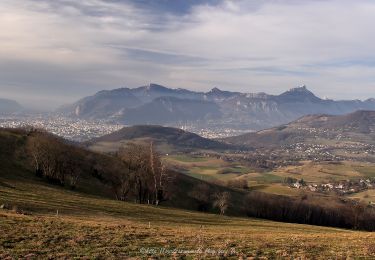
Walking

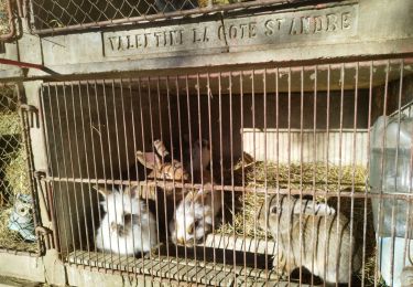
Walking

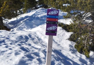
Touring skiing

Walking
Walking
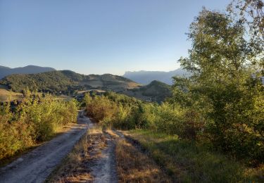
Walking
Walking
Walking
Walking