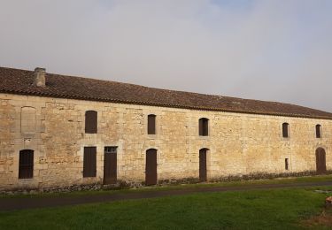
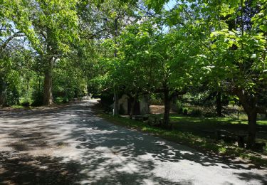
18.7 km | 20 km-effort
cubnesais
Scale33
User
Length
13.5 km
Max alt
52 m
Uphill gradient
83 m
Km-Effort
14.7 km
Min alt
18 m
Downhill gradient
83 m
Boucle
Yes
Creation date :
2024-10-30 12:43:56.0
Updated on :
2024-10-30 16:15:07.309
3h30
Difficulty : Very easy
FREE GPS app for hiking
About
Trail Walking of 13.5 km to be discovered at New Aquitaine, Gironde, Cubnezais. This trail is proposed by Scale33.
Description
randonnée
Positioning
Country:
France
Region :
New Aquitaine
Department/Province :
Gironde
Municipality :
Cubnezais
Location:
Unknown
Start:(Dec)
Start:(UTM)
703959 ; 4994593 (30T) N.
Comments
Trails nearby
190622
Mountain bike
Very easy
Marsas,
New Aquitaine,
Gironde,
France
16.7 km | 18.5 km-effort
1h 4min
Yes
peujeard
Walking
Very easy
Peujard,
New Aquitaine,
Gironde,
France
13.1 km | 14.3 km-effort
3h 9min
Yes
Laruscade 35 km
Mountain bike
Medium
Laruscade,
New Aquitaine,
Gironde,
France
31 km | 35 km-effort
2h 20min
Yes
Peujard
Mountain bike
Very easy
Peujard,
New Aquitaine,
Gironde,
France
21 km | 23 km-effort
1h 32min
Yes
Octobre Rose 12/10/24
Walking
Medium
Saint-Laurent-d'Arce,
New Aquitaine,
Gironde,
France
9.1 km | 10.1 km-effort
1h 37min
Yes
2024-02-05_13h34m30_SityTrail - cavignac_11,6
sport
Very easy
Cavignac,
New Aquitaine,
Gironde,
France
11.4 km | 12.6 km-effort
Unknown
Yes