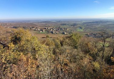
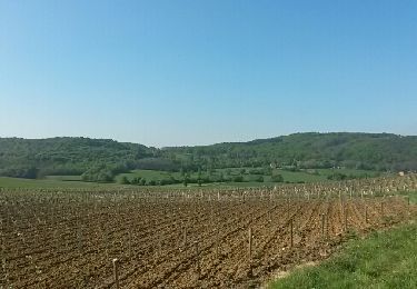
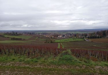
Trail Walking Jully-lès-Buxy - bois - Photo
© OpenStreetMap contributors
Length
Length
477 m
Max alt
Max alt
224 m
Uphill gradient
Uphill gradient
1 m
Km-Effort
Km-Effort  
490 m
Min alt
Min alt
221 m
Downhill gradient
Downhill gradient
1 m
Boucle
Boucle
No
Creation date :
2024-10-30 14:52:54.943
Updated on :
2024-10-30 15:06:49.974

(0 Reviews)

Walking
Walking
13m
Difficulty : Easy

Scan this QR Code to open this trail in the SityTrail application

FREE GPS app for hiking

Logo SityTrail SityTrail

IGN / Geographical institutes

Download SityTrail from the App Store Download SityTrail from Google Play

Logo SityTrail SityTrail World

The world is yours!

Download SityTrail from the App Store Download SityTrail from Google Play Download SityTrail on Huawei AppGallery

About

Trail Walking of 477 m to be discovered at Bourgogne-Franche-Comté, Saône-et-Loire, Jully-lès-Buxy. This trail is proposed by tountouri.

Elevation profile

Positioning

Country:
France
Region :
Bourgogne-Franche-Comté
Department/Province :
Saône-et-Loire
Municipality :
Jully-lès-Buxy
Location:
Unknown
Start:(UTM)
633417 ; 5171581 (31T) N.

Trails nearby

Trail Walking Jully-lès-Buxy - jully, la roche - Photo
Walking
margotjl

Walking

Easy
Jully-lès-Buxy, Bourgogne-Franche-Comté, Saône-et-Loire, France
11.6 km | 15.3 km-effort
2h 35min
Yes
Trail Cycle Jully-lès-Buxy - saint martin d t vallee guye - Photo
Cycle
margotjl

Cycle

Medium
Jully-lès-Buxy, Bourgogne-Franche-Comté, Saône-et-Loire, France
41 km | 49 km-effort
6h 54min
Yes
Trail Walking Jully-lès-Buxy - Jadis - Photo
Walking
margotjl

Walking

Medium
Jully-lès-Buxy, Bourgogne-Franche-Comté, Saône-et-Loire, France
12.5 km | 16.5 km-effort
2h 25min
Yes
Trail Walking Jully-lès-Buxy - Jully les Buxy 7km - Photo
Walking
jcbossant

Walking

Medium
Jully-lès-Buxy, Bourgogne-Franche-Comté, Saône-et-Loire, France
7.3 km | 8.7 km-effort
1h 59min
Yes
Trail Walking Buxy - Buxy (Anne Marie) - Photo
Walking
mic210pie

Walking

Difficult
(1)
Buxy, Bourgogne-Franche-Comté, Saône-et-Loire, France
8.9 km | 12.2 km-effort
2h 31min
No
Trail Walking Saint-Boil - Saint Boil-La Goutteuse - Photo
Walking
jpbus

Walking

Easy
Saint-Boil, Bourgogne-Franche-Comté, Saône-et-Loire, France
11.3 km | 13.2 km-effort
3h 18min
Yes
Trail Walking La Charmée - la charmée - Photo
Walking
tountouri

Walking

Medium
La Charmée, Bourgogne-Franche-Comté, Saône-et-Loire, France
5.7 km | 6.2 km-effort
1h 17min
No
Trail Walking La Charmée - G . La Charmée Nord - Battrey - bois du temple - Le Piony - Mépilley et retour par champ Guenard . - Photo
Walking
jeanpaulcheyssac

Walking

Medium
La Charmée, Bourgogne-Franche-Comté, Saône-et-Loire, France
10.2 km | 11.3 km-effort
2h 33min
Yes
Trail Walking La Charmée - P . L a Charmée - Battrey - Les deux chenes - La Loge retourpar les Meix . - Photo
Walking
jeanpaulcheyssac

Walking

Medium
La Charmée, Bourgogne-Franche-Comté, Saône-et-Loire, France
10.1 km | 11.1 km-effort
2h 31min
Yes


Close
My subscriptions