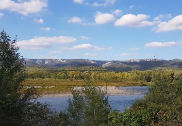
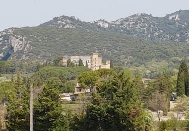
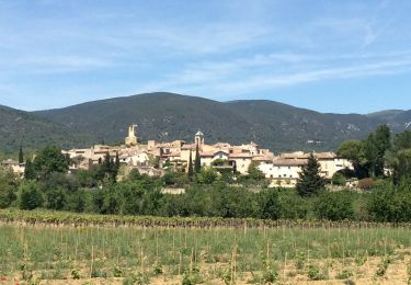
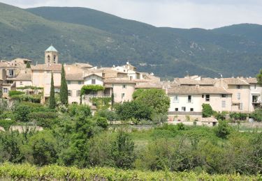
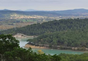
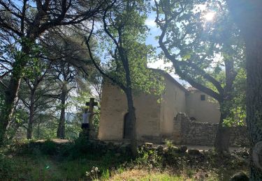
Trail Walking Rognes - Bassin St Christophe Vallon du Ru chateau de Janson,  - Photo

Bassin St Christophe Vallon du Ru chateau de Janson,

© OpenStreetMap contributors
Length
Length
10.1 km
Max alt
Max alt
255 m
Uphill gradient
Uphill gradient
193 m
Km-Effort
Km-Effort  
12.6 km
Min alt
Min alt
156 m
Downhill gradient
Downhill gradient
183 m
Boucle
Boucle
No
Creation date :
2024-10-29 15:46:18.757
Updated on :
2024-10-29 15:52:33.707

(3 Reviews)

Walking
Walking
2h51
Difficulty : Difficult

Scan this QR Code to open this trail in the SityTrail application

FREE GPS app for hiking

Logo SityTrail SityTrail

IGN / Geographical institutes

Download SityTrail from the App Store Download SityTrail from Google Play

Logo SityTrail SityTrail World

The world is yours!

Download SityTrail from the App Store Download SityTrail from Google Play Download SityTrail on Huawei AppGallery

About

Trail Walking of 10.1 km to be discovered at Provence-Alpes-Côte d'Azur, Bouches-du-Rhône, Rognes. This trail is proposed by Fayolle Chantal.

Description

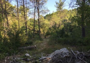
Belle randonnée en sous bois dans la 1ère partie,; dans la dernière partie traverser le pont sur canal  qui  mène à Cadenet. Reprendre la route de Lambesc  sur 20m tourner à gauche sur un petit chemin jusqu'au petit pont qui enjambe le canal.
Pour troue le chemin contourner la vigne par la droite  le chemin est de l'autre côté en face du petit pont. Une belle montée nous attend pour redescendre sur le vallon du Ru

Elevation profile

Positioning

Country:
France
Region :
Provence-Alpes-Côte d'Azur
Department/Province :
Bouches-du-Rhône
Municipality :
Rognes
Location:
Unknown
Start:(UTM)
689977 ; 4841814 (31T) N.

Comments

Please log in to post a review or rate the element


belle randonnée


Trails nearby

Trail On foot La Roque-d'Anthéron - Chemin aménagé le long de la DURANCE - Photo
On foot
dominique dubroca

On foot

Very easy
(1)
La Roque-d'Anthéron, Provence-Alpes-Côte d'Azur, Bouches-du-Rhône, France
14 km | 14.9 km-effort
Unknown
No
Trail Walking Cadenet - Cadenet -Lourmarin - Photo
Walking

Walking

Very easy
(1)
Cadenet, Provence-Alpes-Côte d'Azur, Vaucluse, France
12.1 km | 15.3 km-effort
5h 43min
Yes
Trail Walking La Roque-d'Anthéron - Gambadous - La Roque d'Antheron - Photo
Walking
Taricot

Walking

Easy
(2)
La Roque-d'Anthéron, Provence-Alpes-Côte d'Azur, Bouches-du-Rhône, France
7.3 km | 10 km-effort
2h 30min
Yes
Trail Walking Rognes - Caire Val- les Costes -St Marcellin - Photo
Walking
Berpav

Walking

Medium
(1)
Rognes, Provence-Alpes-Côte d'Azur, Bouches-du-Rhône, France
8.6 km | 10.7 km-effort
2h 26min
Yes
Trail Walking La Roque-d'Anthéron - GB DURANCE+ CHÂTEAU DE JANSON  - Photo
Walking
Ghislaine Blanchet

Walking

Medium
La Roque-d'Anthéron, Provence-Alpes-Côte d'Azur, Bouches-du-Rhône, France
5.5 km | 6 km-effort
1h 22min
Yes
Trail Walking Rognes - Rognes virée dans les vignes sur le sentier des vignerons - Photo
Walking
jll7513

Walking

Easy
Rognes, Provence-Alpes-Côte d'Azur, Bouches-du-Rhône, France
11.1 km | 14.1 km-effort
3h 12min
Yes
Trail Walking Cadenet - Cadenet Lourmarin Cadenet - Photo
Walking
jll7513

Walking

Easy
Cadenet, Provence-Alpes-Côte d'Azur, Vaucluse, France
10.5 km | 13.3 km-effort
3h 1min
Yes
Trail Walking Rognes - St Christophe-La Durance-Ponserot - Photo
Walking

Walking

Difficult
(3)
Rognes, Provence-Alpes-Côte d'Azur, Bouches-du-Rhône, France
12.2 km | 14.4 km-effort
3h 14min
Yes
Trail Walking La Roque-d'Anthéron - Chapelle Ste Anne de Goiron - Photo
Walking
Sitanny

Walking

La Roque-d'Anthéron, Provence-Alpes-Côte d'Azur, Bouches-du-Rhône, France
14.5 km | 22 km-effort
4h 44min
No


Close
My subscriptions