


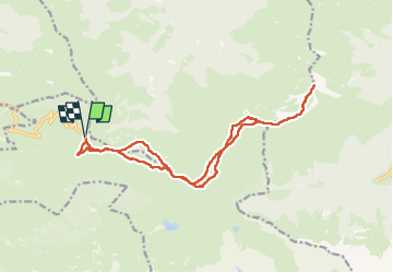

13 km | 20 km-effort


User


FREE GPS app for hiking
 SityTrail
IGN / Geographical institutes
SityTrail World
The world is yours!
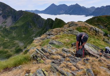
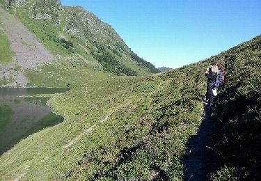
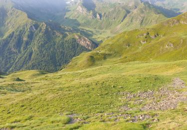
Trail Walking of 18 km to be discovered at Occitania, Hautespyrenees, Beaucens. This trail is proposed by loicthev.
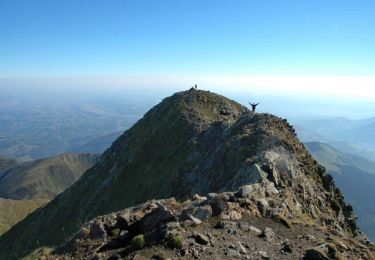
rando Pic de Montaigu
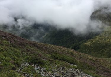
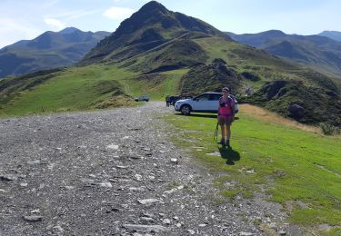
Départ Hautacam col de Tramassel > Pic de Barran > Col de Barran > col des Rosques > pic de Montaigu > retour idem
29/10/2024
Alexandre
Walking
Walking
Walking
Walking
Walking
Walking
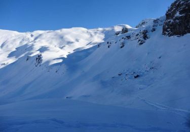
Snowshoes

Walking

Snowshoes