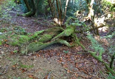
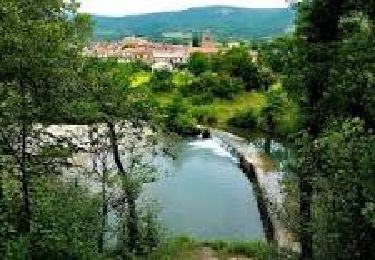
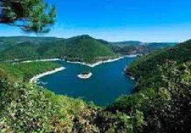
Trail Walking Ceilhes-et-Rocozels - 34 GRP Entre deux lacs J1 Ceilhes-Avène - Photo

34 GRP Entre deux lacs J1 Ceilhes-Avène

 Maryma
Maryma

User

© OpenStreetMap contributors
Length
Length
17.2 km
Max alt
Max alt
753 m
Uphill gradient
Uphill gradient
565 m
Km-Effort
Km-Effort  
25 km
Min alt
Min alt
369 m
Downhill gradient
Downhill gradient
631 m
Boucle
Boucle
No
Creation date :
2024-10-26 14:52:31.513
Updated on :
2024-11-03 08:43:00.574

(0 Reviews)

Walking
Walking
5h40
Difficulty : Difficult

Scan this QR Code to open this trail in the SityTrail application

FREE GPS app for hiking

Logo SityTrail SityTrail

IGN / Geographical institutes

Download SityTrail from the App Store Download SityTrail from Google Play

Logo SityTrail SityTrail World

The world is yours!

Download SityTrail from the App Store Download SityTrail from Google Play Download SityTrail on Huawei AppGallery

About

Trail Walking of 17.2 km to be discovered at Occitania, Hérault, Ceilhes-et-Rocozels. This trail is proposed by Maryma.

Description

Départ pour une itinérance de trois jours. Parking à l'entrée du village.
Faire le tour du village médiéval de Ceilhes, riche en patrimoine.
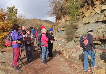
Le chemin : beaucoup de pistes et de petites routes. Fin octobre 2024, n'ai rencontré aucun randonneur, cycliste ou même automobiliste.
Des châtaigniers aux belles couleurs automnales ; nombreux pins et chênes. Des buis dévorés par la pyrale.
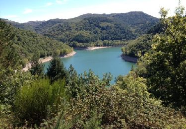
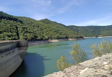
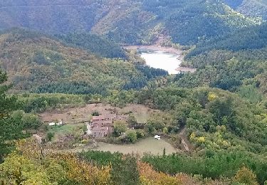
Le lac d'Avène que l'on longe mais que l'on ne voit guère!
Seul endroit panoramique sur le lac, au carrefour des chemins au Sermet...
Balisage minimaliste et manque parfois aux endroits cruciaux comme les carrefours! Ne pas oublier la carte!
Avène, village qui vit grâce aux thermes.  De quoi se loger, se restaurer, une épicerie, un resto, une pizzéria   un magasin de souvenirs ;-)). Accueil sympathique à l'OT.

Elevation profile

Positioning

Country:
France
Region :
Occitania
Department/Province :
Hérault
Municipality :
Ceilhes-et-Rocozels
Location:
Unknown
Start:(UTM)
509210 ; 4849986 (31T) N.

Trails nearby

Trail Walking Ceilhes-et-Rocozels - Foret Domaniale des monts d'Orb - Photo
Walking
mrclic34

Walking

Easy
(1)
Ceilhes-et-Rocozels, Occitania, Hérault, France
17 km | 24 km-effort
5h 13min
Yes
Trail Road bike Fondamente - Roqueredonde, Luna, Avène  - Photo
Road bike
GUIDE
nadd73

Road bike

Medium
Fondamente, Occitania, Aveyron, France
56 km | 71 km-effort
3h 4min
Yes
Trail Walking Cornus - guilhaumard n 1 col de licous au col de licous - Photo
Walking
pipette12

Walking

Easy
(2)
Cornus, Occitania, Aveyron, France
14 km | 16.6 km-effort
3h 44min
Yes
Trail Walking Ceilhes-et-Rocozels - ceilhes - Photo
Walking
Paulodst

Walking

Very easy
(1)
Ceilhes-et-Rocozels, Occitania, Hérault, France
9.6 km | 13.5 km-effort
3h 26min
Yes
Trail Walking Ceilhes-et-Rocozels - Arsel 3-10-17 a partir de ce îles du col vert à montredon - Photo
Walking
labarone

Walking

Very easy
Ceilhes-et-Rocozels, Occitania, Hérault, France
22 km | 31 km-effort
6h 5min
No
Trail Walking Avène - Avene et  ses Foréts - Photo
Walking
mrclic34

Walking

Very easy
(1)
Avène, Occitania, Hérault, France
17.6 km | 25 km-effort
4h 6min
Yes
Trail Walking Ceilhes-et-Rocozels - Ceilhes  - Photo
Walking
Jean-François Gizardin

Walking

Very difficult
Ceilhes-et-Rocozels, Occitania, Hérault, France
13.7 km | 19.6 km-effort
4h 39min
Yes
Trail Walking Ceilhes-et-Rocozels - Le Ruisseau de Jure - Photo
Walking
ARVIEU

Walking

Medium
Ceilhes-et-Rocozels, Occitania, Hérault, France
9.2 km | 13.8 km-effort
4h 0min
Yes
Trail Walking Ceilhes-et-Rocozels - Le Réservoir d'Avène - Photo
Walking
ARVIEU

Walking

Medium
Ceilhes-et-Rocozels, Occitania, Hérault, France
11 km | 16.1 km-effort
4h 0min
Yes


Close
My subscriptions