


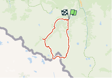

11.4 km | 17.5 km-effort


User


FREE GPS app for hiking
 SityTrail
IGN / Geographical institutes
SityTrail World
The world is yours!
Trail Walking of 27 km to be discovered at Occitania, Hautespyrenees, Cauterets. This trail is proposed by loicthev.
rando Tour du Chabarrou
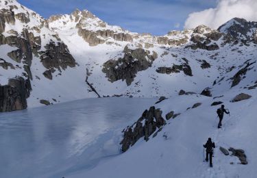
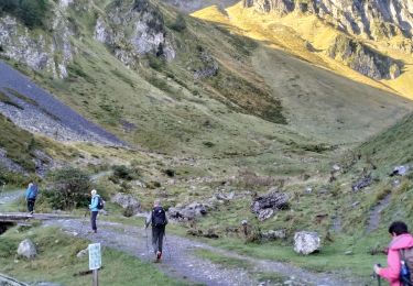
Pont d'Espagne > Lac de Gaube > refuge des Oulettes > Col des Mulets > col Arratille > Refuge Wallon > Pont d'Espagne
20/10/2024
Alexandre

Walking

Walking

Walking
Walking

Walking

Walking

Walking
Walking
Walking