


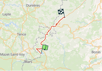

62 km | 83 km-effort


User


FREE GPS app for hiking
 SityTrail
IGN / Geographical institutes
SityTrail World
The world is yours!
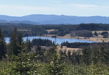
Trail Horseback riding of 27 km to be discovered at Auvergne-Rhône-Alpes, Ardèche, Devesset. This trail is proposed by claude-aei.
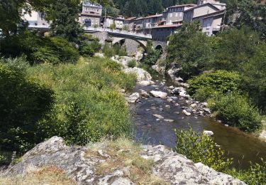
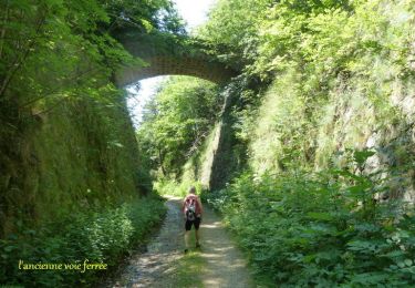
3ème étape : du Gite de l'Oustant au gite du Villard
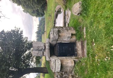
Petit arrêt à la pâtisserie La Chanterelle à St Bonnet le Froid.
Hybrid bike
Walking
Walking
Walking
Mountain bike

Walking
Walking

Road bike
Walking