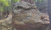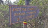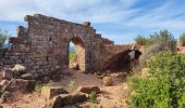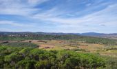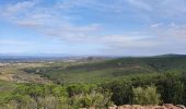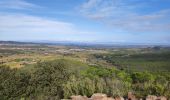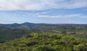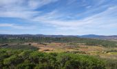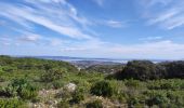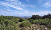

ACAD - TBG - Saint-Andre-de-Roquelongue reco 23 octobre

Taupunzien
User

Length
19 km

Max alt
289 m

Uphill gradient
413 m

Km-Effort
25 km

Min alt
68 m

Downhill gradient
413 m
Boucle
Yes
Creation date :
2024-10-23 07:26:57.32
Updated on :
2024-10-23 16:13:59.525
5h34
Difficulty : Very difficult

FREE GPS app for hiking
About
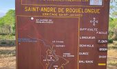
Trail Walking of 19 km to be discovered at Occitania, Aude, Saint-André-de-Roquelongue. This trail is proposed by Taupunzien .
Description
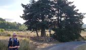
Belle rando,
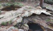
Des passages avec beaucoup de pierres,
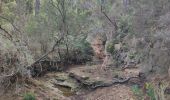
200 metres assez difficiles a travers la foret avant d'arriver au village,
Positioning
Country:
France
Region :
Occitania
Department/Province :
Aude
Municipality :
Saint-André-de-Roquelongue
Location:
Unknown
Start:(Dec)
Start:(UTM)
486769 ; 4773455 (31T) N.
Comments
Trails nearby
Abbaye de Fontdefroide


Other activity
Medium
(3)
Bizanet,
Occitania,
Aude,
France

20 km | 26 km-effort
2h 13min
Yes
bois de Fontfroide


Walking
Very difficult
Narbonne,
Occitania,
Aude,
France

17.1 km | 22 km-effort
6h 59min
No

L'Aragnon de Frontfroide


Walking
Very easy
(1)
Narbonne,
Occitania,
Aude,
France

8.7 km | 10.9 km-effort
2h 24min
Yes
Fontfroide (aude) Près de Narbonne


Walking
Easy
(1)
Narbonne,
Occitania,
Aude,
France

17.2 km | 22 km-effort
5h 15min
Yes
BOUTENAC - Circuit des combes par la chapelle St Siméon


Walking
Medium
(3)
Boutenac,
Occitania,
Aude,
France

7 km | 9.5 km-effort
1h 39min
Yes
BOUTENAC - La boucle des terroirs


Walking
Medium
Boutenac,
Occitania,
Aude,
France

10 km | 13.4 km-effort
2h 22min
Yes
roquelongue


Walking
Very difficult
Saint-André-de-Roquelongue,
Occitania,
Aude,
France

18.8 km | 24 km-effort
4h 44min
Yes
FONTFROIDE - La Croix


Walking
Easy
Narbonne,
Occitania,
Aude,
France

2.2 km | 3.4 km-effort
1h 16min
Yes


 SityTrail


